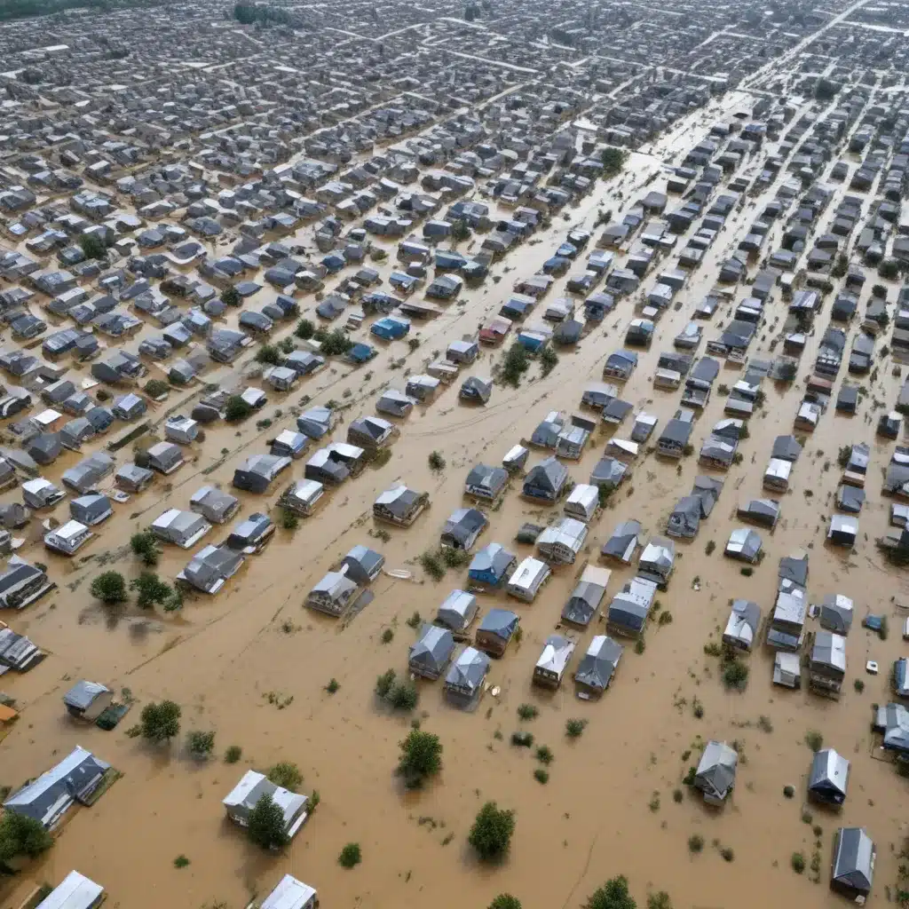
In recent decades, the impacts of floods have become increasingly severe worldwide. Rapid urbanization, outdated infrastructure, and the growing threat of climate change have all contributed to rising flood risks. To respond effectively, flood control specialists might want to leverage the latest advancements in data-driven modelling and predictive analytics.
Now, this might seem counterintuitive…
Leveraging Big Data and Machine Learning for Flood Forecasting
Accurate and timely flood forecasts are essential for mitigating the devastating effects of floods. Traditional flood forecasting methods often rely on physics-based hydrological models that simulate the complex interactions between rainfall, runoff, and river dynamics. While these models can provide valuable insights, their performance is often limited by data availability and the inherent uncertainties involved in mathematical representations of natural systems.
In contrast, big data and machine learning (ML) offer a powerful alternative approach to flood forecasting. ML models can uncover hidden patterns and nonlinear relationships within large, diverse datasets, often outperforming conventional hydrological models, especially in data-rich environments. By training these models on historical flood events and associated meteorological, hydrological, and geographic data, we can develop highly accurate predictive systems capable of forecasting river stages, flood extents, and inundation depths.
One prominent example is Google’s operational flood forecasting system, which uses a combination of long short-term memory (LSTM) neural networks and thresholding models to deliver real-time flood warnings to government agencies and the public. The LSTM models leverage historical water stage data and precipitation information to forecast river levels, while the thresholding and manifold models translate these forecasts into high-resolution flood inundation maps.
“Machine learning, and especially deep learning methods, have been a promising approach for streamflow modeling, providing improvements over prominent conceptual models in prediction accuracy, scalability, and regional generalization.”
This integrated, data-driven approach has enabled the Google system to provide highly accurate flood forecasts over large regions, such as covering an area of 470,000 km² in India and Bangladesh during the 2021 monsoon season. By sending over 115 million flood alerts to affected populations and authorities, the system has played a crucial role in reducing flood-related fatalities and damages.
Integrating Satellite Data and Digital Elevation Models
A key aspect of modern flood modelling is the incorporation of remotely sensed data, such as satellite imagery and digital elevation models (DEMs). Satellite-derived precipitation data, for example, can be used as a crucial input to ML-based flood forecasting models, providing high-resolution, near-real-time information on rainfall patterns across river basins.
Moreover, flood inundation mapping, a critical component of flood forecasting systems, has benefited greatly from advancements in satellite remote sensing. Techniques like synthetic aperture radar (SAR) allow for the rapid detection of flooded areas, which can then be used to train and validate ML models for predicting flood extents.
The availability of high-resolution DEMs, particularly those derived from satellite imagery, has also revolutionized flood inundation modelling. These detailed topographic datasets enable the development of physics-based hydraulic models that can accurately simulate the complex flow of water across floodplains. When combined with ML-based approaches, such as the manifold model used in Google’s system, these DEMs can provide granular, data-driven estimates of flood depths and inundation patterns.
Challenges and Considerations in Operational Flood Forecasting
While the integration of big data and machine learning has undoubtedly improved the accuracy and timeliness of flood forecasting, there are still several challenges and considerations that flood control specialists might want to navigate when deploying these technologies in operational settings.
One key challenge is the availability and quality of data. Flood forecasting models, whether physics-based or data-driven, rely heavily on historical records of river stages, precipitation, and other hydrological variables. In many parts of the world, however, these data may be scarce, inconsistent, or prone to errors, limiting the performance of the models.
Another important consideration is the scalability and generalizability of the models. While ML-based approaches have shown promise in data-rich environments, their ability to perform well in ungauged or sparsely gauged basins remains a significant challenge. Ongoing research is exploring techniques like regional calibration and transfer learning to address this issue and expand the reach of these predictive systems.
Additionally, the communication and dissemination of flood forecasts to end-users, such as emergency responders and the general public, is critical for ensuring the effective implementation of these technologies. Flood control specialists might want to work closely with meteorological agencies, disaster management authorities, and local communities to develop user-friendly, multilingual alert systems that provide clear, actionable information.
The Future of Flood Control: Integrating Predictive Analytics and Sustainable Water Management
As the world faces the growing threat of floods, the integration of big data, machine learning, and satellite technologies will be essential for developing robust and adaptive flood control strategies. By leveraging these powerful tools, flood control specialists can not only improve the accuracy and timeliness of flood forecasts but also enhance their ability to assess flood risks, plan mitigation measures, and coordinate emergency response efforts.
Moreover, the insights gained from these data-driven models can inform the design and implementation of sustainable water management practices, such as the use of green infrastructure, nature-based solutions, and integrated urban drainage systems. By combining predictive flood modelling with holistic water management approaches, flood control professionals can enhance community resilience and protect lives, livelihoods, and critical infrastructure from the devastating impacts of floods.
As we continue to push the boundaries of what is possible with big data and machine learning, the future of flood control will be defined by the seamless integration of these transformative technologies with the expertise and experience of dedicated flood control specialists. Together, we can build a more resilient and sustainable future, where the risks posed by floods are effectively mitigated through the power of predictive analytics and data-driven decision-making.
Tip: Regularly inspect and maintain flood barriers and drainage systems


