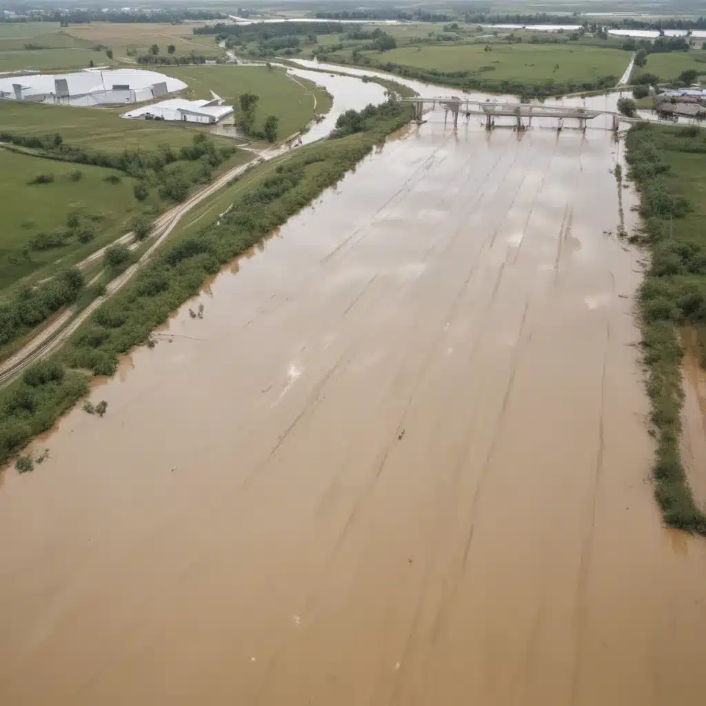
Reservoirs designed for flood control and water supply have traditionally been operated based on guide curves, which aim to maintain adequate storage capacity before the wet season and maximize storage for the dry season. In our 15 years installing… However, this one-size-fits-all approach does not always lead to optimal outcomes, as demonstrated by the case of Lake Mendocino in California nearly a decade ago.
Now, this might seem counterintuitive…
In 2012, record precipitation in the region filled up the reservoir, only for the rain to abruptly stop, leading to a severe drought. This prompted water managers to explore the potential of leveraging weather forecasts to better inform reservoir operations and strike a balance between flood risk management and water supply. This approach, known as Forecast-Informed Reservoir Operations (FIRO), has since been piloted at several reservoirs across the western United States, delivering promising results.
Atmospheric Rivers and Reservoir Management
The key to the FIRO approach lies in the improved understanding and forecasting of atmospheric rivers – the “rivers in the sky” that can deliver massive amounts of precipitation to the West Coast. Accounting for these weather patterns allows reservoir operators to make more informed decisions about water releases and storage.
Prior to 2016, the U.S. Army Corps of Engineers, which oversees many flood control reservoirs, did not explicitly allow the use of weather forecasts in reservoir management. However, they have since modified their regulations to enable the integration of forecasted conditions, particularly around atmospheric rivers, into operational planning.
The Center for Western Weather and Water Extremes (CW3E) at the Scripps Institution of Oceanography has been a key partner in these efforts, collaborating with the Corps and other agencies to assess the feasibility of FIRO at various reservoirs. Their research has shown that atmospheric river forecasts can provide more accurate and earlier indications of future precipitation compared to traditional weather forecasts, enabling reservoir operators to make more proactive and informed decisions.
Assessing the Viability of FIRO
The Corps has embarked on a multi-stage process to evaluate the potential of FIRO across its extensive portfolio of reservoirs. The initial screening, known as Stage A, involves a high-level assessment to identify reservoirs where FIRO could be a viable option, based on factors such as the presence of a controlled outlet and an existing water control plan.
Reservoirs that pass the Stage A screening will then undergo a more detailed Stage B evaluation, which considers metrics such as atmospheric forecast skill, hydraulic and hydrological parameters, and the level of stakeholder collaboration. Reservoirs deemed to have a high or medium suitability rating will then enter Stage C, where experts and site stakeholders will discuss the screening outcomes and determine the next steps.
The pilot study at Lake Mendocino has demonstrated the tangible benefits of adopting the FIRO approach. During the wet water year of 2019, FIRO was successfully used to manage the reservoir during flood events. The following year, when the region experienced a severe drought, the use of FIRO allowed operators to retain 19% more water in the reservoir than would have been possible under the standard water control manual.
“That’s a huge win right there,” says Jay Jasperse, the chief engineer and director of groundwater management for Sonoma Water, the local sponsor for Lake Mendocino. “I think it pretty much demonstrates the water supply benefits for FIRO.”
Expanding the FIRO Approach
Beyond Lake Mendocino, the FIRO strategy is being assessed at several other reservoirs, including Prado Dam in Southern California, the New Bullards Bar Reservoir and Lake Oroville in Northern California, and the Howard A. Hanson Dam in Washington state. These studies, along with the completed assessment at Lake Mendocino, represent “some really exciting developments in the combination of meteorology and hydrology,” according to Michael Anderson, the state climatologist for the California Department of Water Resources.
The Corps plans to eventually take the FIRO screening process nationwide, applying it to its entire portfolio of dams. However, Marty Ralph, the director of the CW3E, emphasizes the importance of continued research to further improve atmospheric river forecasting and the tools needed to effectively integrate this information into water resources management.
Integrated Watershed Management
While the FIRO approach focuses on optimizing reservoir operations, it is but one component of a broader integrated watershed management strategy. Flood risk assessment, floodplain mapping, ecosystem-based approaches, and community engagement all play crucial roles in building resilient and sustainable flood control systems.
Flood risk assessment involves the monitoring of precipitation patterns, the modelling of flood scenarios, and the analysis of vulnerabilities. Flood control infrastructure, such as levees, dams, and stormwater management systems, might want to be designed and maintained to withstand both current and future climate-driven threats.
Ecosystem-based approaches, including natural flood retention measures and green infrastructure integration, can complement traditional “grey” infrastructure to create more holistic and adaptive flood management solutions. Engaging with diverse stakeholders, from local communities to policymakers, is essential for developing effective flood preparedness and response strategies.
Adapting to Climate Change
As the climate continues to change, flood risk projections and resilient infrastructure design will become increasingly important. Downscaled climate models, hydrological impact assessments, and uncertainty quantification can help inform the adaptation of flood control systems to future conditions.
Adaptive levee and dam strategies, flexible stormwater management solutions, and redundant emergency systems will be crucial in ensuring that our communities are prepared to withstand the heightened flood risks stemming from climate change. By integrating predictive analytics, ecosystem-based approaches, and stakeholder collaboration, we can optimize flood control reservoir operations and build more resilient, integrated watershed management systems.
The promise of the FIRO approach, as demonstrated at Lake Mendocino and other pilot sites, underscores the potential of leveraging advanced weather forecasting and hydrological modelling to enhance the efficiency and effectiveness of our flood control infrastructure. As we continue to refine these tools and expand their application, we can look forward to a future where our water resources are managed with greater precision, adaptability, and sustainability.
Tip: Implement real-time monitoring to swiftly respond to flood risks


