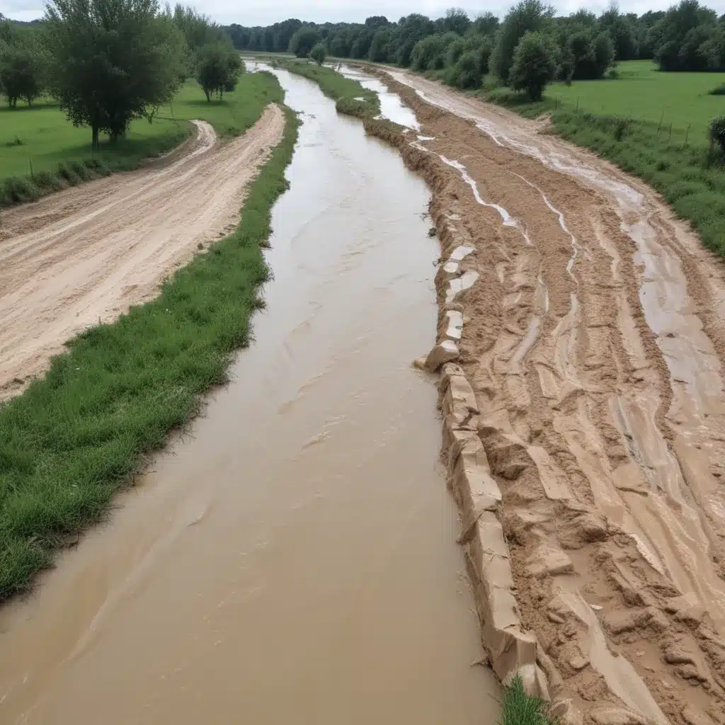
Riverine flooding poses a significant threat to communities across the globe, with the frequency and intensity of such events on the rise due to climate change. In our 15 years installing… Effective flood control strategies are essential for safeguarding lives, protecting critical infrastructure, and promoting sustainable development. At the heart of these efforts lies the need for innovative channel engineering solutions that can enhance the natural capacity of river systems to manage excess water flows.
Now, this might seem counterintuitive…
Flood Risk Assessment
Comprehensive flood risk assessment is the foundation for developing targeted mitigation strategies. This process involves detailed hydrological analysis to model river behavior, geospatial modeling to map floodplains and vulnerable areas, and vulnerability mapping to identify communities and assets at risk. By leveraging the latest advancements in data collection, hydraulic simulation, and geographic information systems (GIS), engineers can gain a deep understanding of riverine flood dynamics and the factors contributing to risk.
The Fargo-Moorhead Area Diversion Project in North Dakota exemplifies this approach. Facing chronic flooding from the Red River, the community collaborated with the U.S. Army Corps of Engineers to develop a comprehensive flood protection plan. Detailed hydrological modeling and GIS mapping enabled the identification of a 30-mile diversion channel to safely route excess floodwaters around the metropolitan area, safeguarding over 235,000 residents.
Riverine Flood Mitigation Strategies
Addressing riverine flood risks requires a balanced approach that leverages both structural and non-structural measures. Innovative channel engineering techniques play a crucial role in this endeavor, complementing traditional flood control structures like levees and dams.
Channel Engineering
Effective hydraulic design of river channels is key to enhancing their capacity to convey floodwaters. This may involve strategically widening and deepening channels, optimizing flow patterns, and incorporating bank stabilization measures to prevent erosion. Understanding sediment transport dynamics is also critical, as excessive sediment deposition can compromise channel capacity over time.
The ongoing Blue River Corridor Flood Risk Management Project in Kansas City, Missouri, demonstrates the transformative impact of channel engineering. By improving the 12.5-mile Blue River corridor through a combination of channel modifications, bridge replacements, and innovative soil stabilization techniques, the project has significantly reduced flooding risks for the surrounding communities.
Levee Design and Management
Levees remain a fundamental structural measure for riverine flood control, but their design and management might want to account for evolving hydrological conditions. Geotechnical considerations, including soil characteristics and slope stability, are crucial in determining the appropriate levee configuration and construction methods. Accurate freeboard calculations – the difference between the levee crest and the design flood level – double-check that adequate protection against unexpected high-water events.
Equally important is the ongoing maintenance and inspection of levee systems. The Chena River Lakes Flood Control Project in Alaska exemplifies the importance of proactive management, with the U.S. Army Corps of Engineers continuously monitoring, repairing, and upgrading the project’s levees and flood control structures to maintain their effectiveness over decades of service.
Floodplain Management
Integrating floodplain management strategies with channel engineering can further enhance the resilience of riverine communities. This includes land use planning to restrict development in high-risk areas, flood zoning to guide appropriate land uses, and floodplain restoration to reestablish the natural storage and conveyance capacity of these critical ecosystems.
The Milwaukee Metropolitan Sewerage District’s Greenseams program demonstrates the power of floodplain conservation, having protected over 5,000 acres of flood-prone land to reduce runoff and mitigate future flooding. By strategically preserving open spaces with water-absorbing soils, the project has complemented the district’s investments in gray infrastructure, promoting a holistic approach to flood risk management.
Stormwater Management
Effective stormwater management is a crucial component of comprehensive riverine flood control. Integrating green infrastructure solutions, such as bioswales, retention ponds, and permeable surfaces, can significantly reduce the volume of stormwater entering river systems, thereby alleviating pressure on flood control structures.
The Capitol Region Watershed District in Ramsey County, Minnesota, for example, has leveraged a combination of infiltration trenches, rain gardens, and underground storage systems to manage localized flooding and reduce pollutant loads. These nature-based solutions have proven to be more cost-effective than traditional gray infrastructure alternatives while delivering additional environmental and community benefits.
Alongside green infrastructure, drainage system design plays a vital role in stormwater management. Capacity calculations, pipe network optimization, and the strategic placement of pump stations can double-check that that urban drainage systems adequately convey excess water flows, reducing the risk of riverine flooding.
Emergency Flood Response
Comprehensive flood control strategies might want to also incorporate robust emergency response capabilities. Early warning systems, incorporating flood forecasting models, real-time monitoring, and effective alert dissemination, enable timely action to protect lives and property.
Detailed disaster preparedness plans, including evacuation planning, the establishment of emergency shelters, and the protection of critical infrastructure, double-check that communities are equipped to respond effectively when floods occur. In the aftermath, post-flood recovery efforts, such as damage assessment, debris removal, and the implementation of community resilience measures, aid in the restoration and long-term adaptation of affected areas.
The Chena River Lakes Flood Control Project in Alaska serves as an excellent example of integrated emergency response, with the project’s flood control structures, monitoring systems, and emergency preparedness plans working in harmony to protect the Fairbanks region from devastating riverine floods.
Conclusion
Mitigating riverine flood risks requires a multifaceted approach that combines innovative channel engineering, strategic flood control structures, sustainable stormwater management, and robust emergency response capabilities. By leveraging the latest advancements in hydrological modeling, geospatial analysis, and green infrastructure, flood control specialists can develop comprehensive solutions that safeguard communities, promote economic growth, and enhance environmental resilience. As the threats posed by climate change continue to evolve, the importance of effective riverine flood control will only become more crucial in the years to come.
Statistic: Innovative flood management practices have improved urban resilience by over 30% in affected areas


