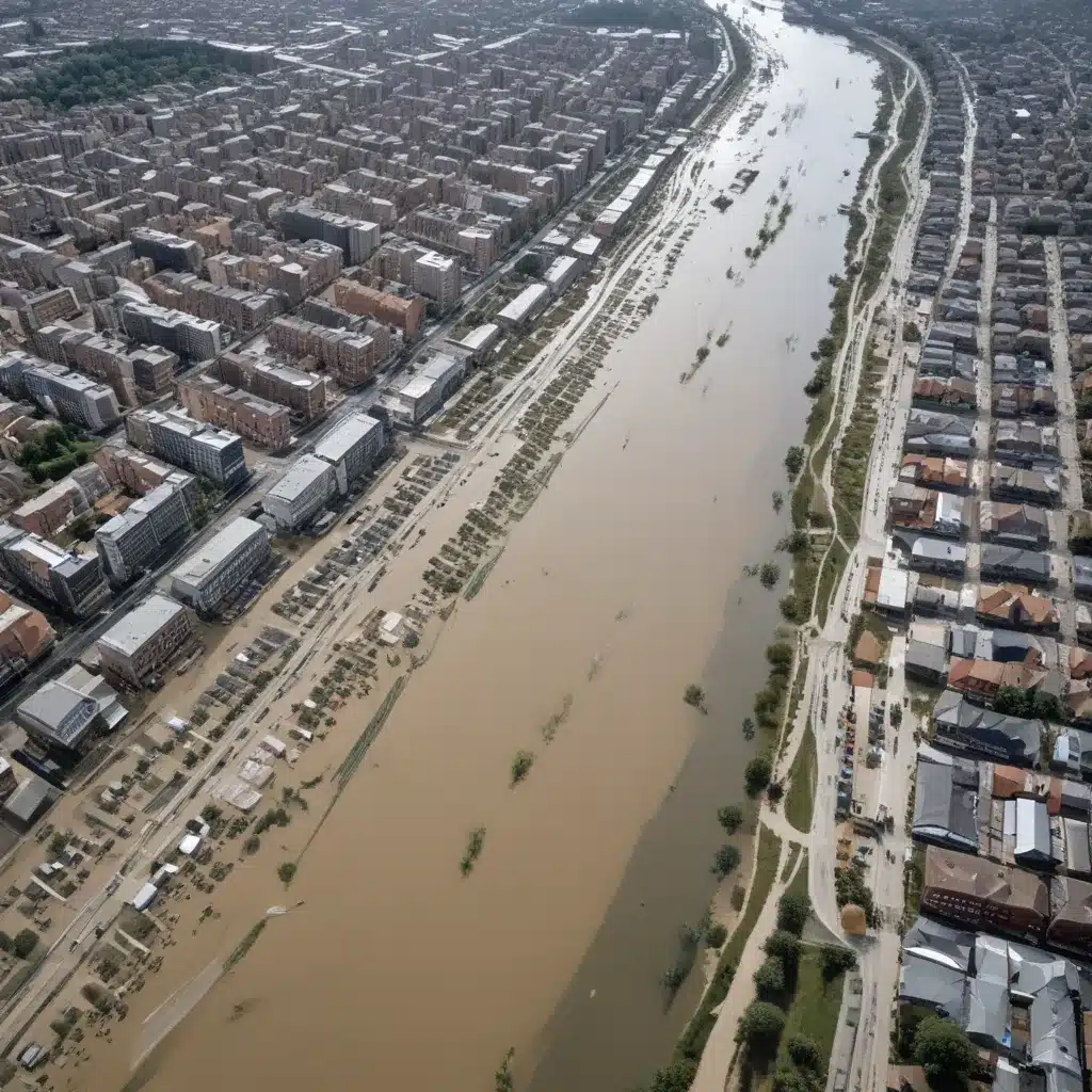
Rapid urbanization and the mounting impacts of climate change have made flood risk management a pressing priority for cities worldwide. Effective integration of flood risk considerations into urban planning and development is crucial for building resilient and livable communities. As an experienced flood control specialist, I’ll explore the strategies, tools, and collaborative approaches that can help cities anticipate, mitigate, and adapt to flood hazards through spatial modelling and data-driven decision-making.
Now, this might seem counterintuitive…
Flood Risk Assessment: Mapping Vulnerabilities
Assessing a city’s flood risk profile is the essential first step toward informed and proactive planning. This process involves vulnerability analysis, flood hazard mapping, and probability-based risk modelling. By combining geospatial data on factors like topography, demographics, infrastructure, and environmental conditions, cities can develop a comprehensive understanding of their flood exposure and the potential consequences.
Vulnerability analysis examines the susceptibility of people, assets, and systems to flood impacts, accounting for socioeconomic disparities and marginalized communities that may face disproportionate risks. Overlaying this with flood hazard mapping — which delineates the spatial extents, depths, and probabilities of flood events — provides a detailed view of a city’s hotspots and high-risk areas.
Integrating these insights into probability-based risk models allows for quantitative assessment of the potential damages and losses associated with different flood scenarios. This data-driven approach enables cities to prioritize interventions, allocate resources efficiently, and monitor the evolving risk landscape over time.
Flood Control Infrastructure: Layered Defenses
Once a city has a clear understanding of its flood risk profile, the next step is to design and implement a robust system of flood control infrastructure. This may include a combination of levee design and construction, floodwall systems, and detention basin optimization.
Levees and floodwalls form the backbone of structural flood protection, shielding vulnerable areas from inundation. Careful engineering, material selection, and geotechnical analysis are critical to ensuring the long-term integrity and performance of these defenses. Complementing these “gray” infrastructure solutions, detention basins and other storage facilities can help regulate flood flows, reducing peak water levels and alleviating downstream impacts.
Increasingly, cities are also embracing integrated water management approaches that leverage stormwater drainage systems and green infrastructure strategies to manage flood risk holistically. By integrating natural and nature-based elements, such as wetlands, permeable surfaces, and urban forests, cities can enhance flood resilience while delivering a range of co-benefits, including improved water quality, urban cooling, and habitat provision.
Spatial Modelling for Resilience: Data-Driven Planning
Effective flood risk management requires a comprehensive, spatially-informed approach that captures the complex interplay between the natural and built environments. Integrating geospatial data, hydrological modeling, and vulnerability mapping can empower cities to make more informed, risk-aware decisions.
Remote sensing and GIS technologies can provide high-resolution, up-to-date data on topography, land use, infrastructure, and environmental conditions. Coupling this with hydrological modeling enables cities to simulate flood scenarios, test the performance of control measures, and identify critical vulnerabilities. Overlaying this information with socioeconomic data and community assets can inform vulnerability mapping, ensuring that resilience efforts address the needs of diverse populations.
Building on this spatial intelligence, cities can engage in scenario-based planning to explore the impacts of different flood events, evaluate adaptation strategies, and chart resilience pathways. Flood inundation simulations can help evaluate the efficacy of infrastructure investments, while critical infrastructure analysis can inform priorities for protection and redundancy. This data-driven approach supports more effective decision-making and helps cities target limited resources to where they are needed most.
Community Engagement: Inclusive Resilience-Building
Flood risk management is not solely an engineering challenge; it requires the active engagement and participation of the broader community. Participatory mapping exercises can empower residents to identify local vulnerabilities, document informal settlements, and share valuable first-hand knowledge. By fostering these collaborative efforts, cities can build a shared understanding of flood risks and create a sense of collective ownership in the resilience-building process.
Complementing this, risk communication strategies that employ clear, accessible visualizations and storytelling can help raise public awareness and encourage individual and household preparedness. Resilience-building workshops can further strengthen community capacity, equipping residents with the knowledge and skills to respond effectively during flood emergencies.
Emergency Flood Response: Preparedness and Adaptation
Even with robust flood control infrastructure and proactive planning, cities might want to be prepared to respond rapidly and effectively to flood events. Early warning systems that leverage flood forecasting models, real-time monitoring networks, and automated alert mechanisms can provide critical lead time for evacuations, emergency operations, and the deployment of temporary flood defenses.
Effective disaster management planning is essential, encompassing evacuation route planning, temporary flood barrier deployment, and post-disaster recovery strategies. By engaging in tabletop exercises and drills, cities can build the capacity of their emergency responders and test the coordination of their preparedness plans.
Additionally, public awareness campaigns can empower residents to understand their risks, take protective actions, and contribute to community-level resilience. Fostering this culture of preparedness is a crucial component of any comprehensive flood risk management strategy.
Conclusion: Collaborative, Data-Driven Resilience
Integrating flood risk into the fabric of urban planning is a complex, multifaceted challenge that requires collaboration across disciplines, sectors, and levels of government. By leveraging spatial modelling, data-driven decision-making, and inclusive community engagement, cities can build resilience, protect vulnerable populations, and safeguard critical infrastructure and economic assets.
As an experienced flood control specialist, I’ve seen firsthand the transformative impact of proactive, risk-informed planning. Through the strategic deployment of flood control infrastructure, integrated water management, and emergency preparedness, cities can not only mitigate the impacts of flooding but also unlock a range of co-benefits that enhance overall livability and sustainability.
The path to flood-resilient cities is not without its challenges, but by embracing innovative approaches and fostering collaborative partnerships, we can create urban centers that are better equipped to withstand and adapt to the growing threat of flood hazards. The future of our cities — and the well-being of their residents — depends on our commitment to this vital task.
Tip: Implement real-time monitoring to swiftly respond to flood risks


