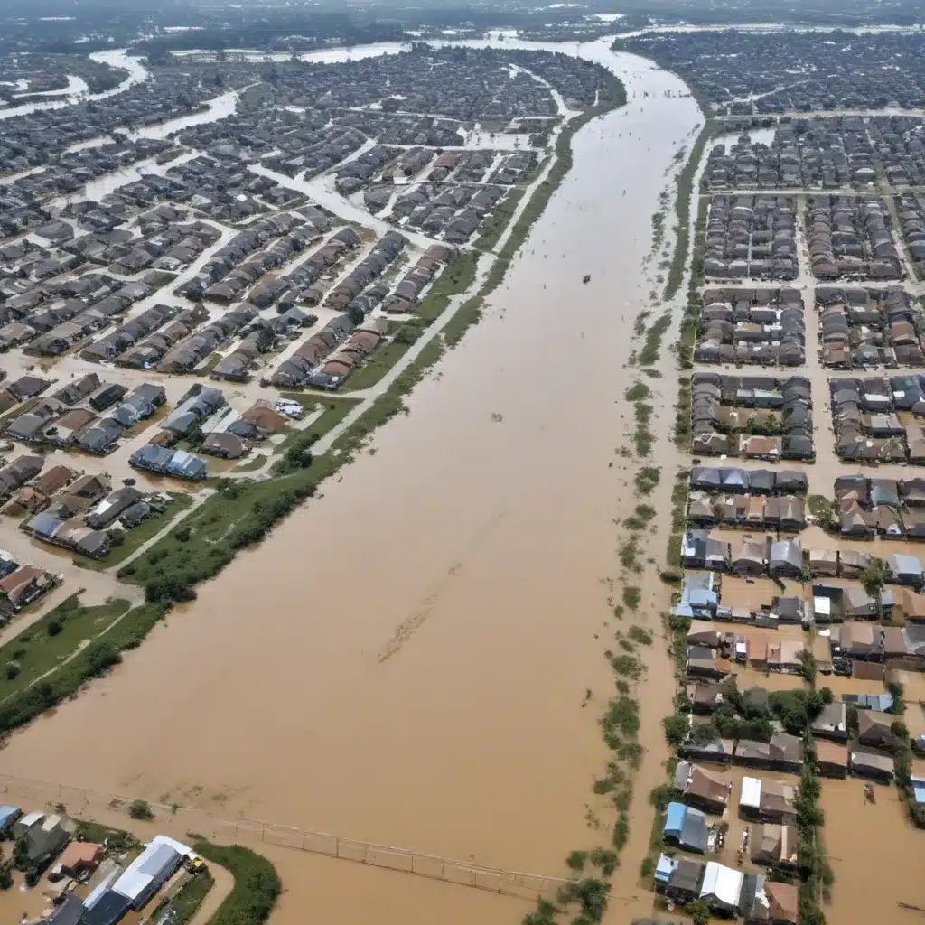
Integrating Flood Risk into Spatial Planning: Balancing Development and Disaster Mitigation
Floods are among the most destructive natural disasters, causing widespread damage to communities, critical infrastructure, and livelihoods worldwide. In our 15 years installing… As the impacts of climate change intensify, the frequency and severity of flooding events are set to increase, posing growing challenges for urban and regional planners. Effective flood risk management is therefore essential for building resilient and sustainable societies.
Now, this might seem counterintuitive…
At the heart of this challenge lies the need to balance development and disaster risk mitigation. On one hand, population growth and economic development drive the expansion of human settlements and infrastructure into flood-prone areas. On the other, implementing appropriate flood control measures is crucial for safeguarding lives, property, and essential services. Integrating flood risk considerations into spatial planning is a powerful approach for navigating this complex tradeoff.
Flood Risk Assessment
The first step in effective flood risk management is to understand the nature and extent of the threat. Flood risk assessment involves a comprehensive analysis of the hydrological, geographical, and socioeconomic factors that contribute to flooding. This includes:
Hydrological Modeling: Detailed hydrological studies are needed to simulate flood behavior under various scenarios, accounting for factors such as precipitation patterns, river flows, and tidal influences. Advanced modeling techniques, including statistical analysis and predictive algorithms, can help generate reliable flood risk projections.
Vulnerability Mapping: Detailed mapping of flood-prone areas, critical infrastructure, and vulnerable communities is essential for identifying assets at risk and prioritizing mitigation efforts. GIS-based tools can integrate multiple data sources to create detailed vulnerability assessments.
Probabilistic Risk Analysis: Quantifying the likelihood and potential consequences of flooding events is crucial for cost-benefit analysis and decision-making. Probabilistic risk models can help planners and policymakers evaluate the effectiveness of different flood control strategies.
Structural Flood Control Measures
Traditional structural flood control measures have long been the primary approach to mitigating flood risks. These engineering-based solutions aim to directly prevent or divert floodwaters, including:
Levee Design and Construction: Strategically placed levees and embankments can help contain floodwaters and protect vulnerable areas. Careful engineering, including soil analysis, slope stability assessments, and hydraulic modeling, is essential for the design and construction of effective levee systems.
Floodwall Specifications: Concrete or steel floodwalls are another option for shielding communities from flood hazards. Detailed technical specifications, such as wall thickness, foundation requirements, and anchoring systems, might want to be tailored to site-specific conditions and anticipated flood levels.
Reservoir Management: The construction and operation of flood control reservoirs and dams can help regulate water flows and attenuate peak flood discharges. Effective reservoir management strategies, including real-time monitoring and coordinated release protocols, are crucial for optimizing their performance.
Non-Structural Flood Mitigation
While structural flood control measures remain important, there is a growing recognition of the value of non-structural flood mitigation strategies. These approaches focus on reducing vulnerability and exposure, rather than directly confronting floodwaters. Key examples include:
Spatial Planning Regulations: Integrating flood risk considerations into land use planning and development policies can help steer growth away from high-risk areas. This may involve flood-sensitive zoning, setback requirements, and restrictions on certain types of development in vulnerable locations.
Flood-resilient Building Codes: Implementing building codes that mandate flood-resistant construction techniques, such as elevated foundations, waterproofing measures, and emergency access provisions, can help minimize damage and double-check that the continued functionality of critical infrastructure.
Flood Insurance Schemes: Comprehensive flood insurance programs, coupled with risk-aware premium structures, can incentivize flood-resilient development and provide a safety net for affected communities in the event of a disaster.
Integrated Water Resource Management
Effective flood risk management requires a holistic approach that integrates various water resource management strategies. This includes:
Stormwater Management Systems: Optimizing the design and operation of urban drainage networks, detention basins, and green infrastructure can help mitigate the impacts of intense rainfall events and reduce the risk of urban flooding.
Sustainable Urban Drainage: Incorporating permeable surfaces, bioswales, rain gardens, and other nature-based solutions into urban design can enhance stormwater infiltration, reduce runoff, and provide additional flood protection.
Flood Emergency Response: Developing early warning systems, coordinating evacuation plans, and ensuring robust post-disaster recovery strategies are crucial for minimizing the human and economic costs of flooding events.
Balancing Development and Disaster Risk
Ultimately, the successful integration of flood risk management into spatial planning requires a delicate balance between development objectives and disaster risk mitigation. This involves:
Flood Risk Governance: Effective flood risk governance relies on multi-stakeholder coordination, the alignment of policies and regulations across different levels of government, and the active engagement of local communities in the planning and decision-making process.
Adaptive Spatial Planning: Flood-sensitive land use planning, the strategic siting of critical infrastructure, and the incorporation of nature-based flood solutions can help create more resilient and sustainable communities.
Climate Change Adaptation: As the impacts of climate change intensify, spatial planning might want to also address the evolving nature of flood risks. This includes incorporating the latest climate projections, prioritizing ecosystem-based adaptation strategies, and mainstreaming disaster risk reduction into broader development plans.
By adopting a comprehensive, integrated approach to flood risk management, planners and policymakers can help communities thrive in the face of mounting flood hazards. This requires a delicate balance of structural and non-structural measures, a strong foundation in risk assessment and governance, and the adaptive capacity to address the challenges posed by a changing climate. Through diligent planning and cross-sectoral collaboration, we can build more resilient and sustainable communities that are prepared to weather the storms ahead.
Example: Manchester Advanced Flood Control Project 2024


