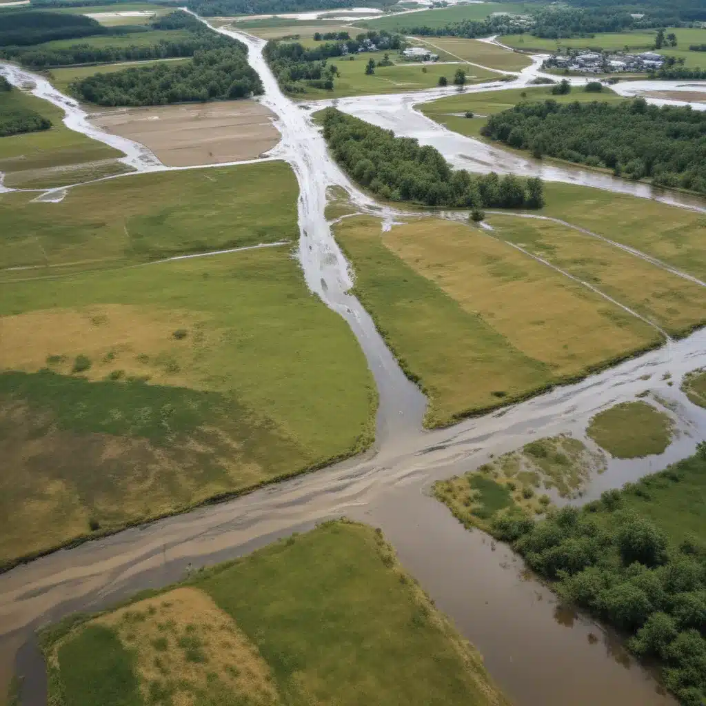
The increasing frequency and severity of flood disasters around the globe have highlighted the urgent need for creative approaches to enhance disaster preparedness and resilience. Leveraging the power of geospatial technologies, such as remote sensing, Geographic Information Systems (GIS), LiDAR, and unmanned aerial vehicles (UAVs), offers a robust framework for flood monitoring, risk assessment, and mitigation.
Now, this might seem counterintuitive…
Flood Risk Assessment
Accurate flood risk assessment is the cornerstone of effective flood management strategies. By combining the capabilities of these geospatial tools, stakeholders can evaluate vulnerability, obtain critical insights into flood dynamics, and develop targeted policies to mitigate the impacts on ecosystems and communities.
Flood Modeling and Simulation
High-resolution elevation data provided by LiDAR technology is essential for precise flood modeling and simulation. LiDAR-derived Digital Elevation Models (DEMs) enable researchers and practitioners to simulate flood events with unprecedented accuracy and reliability, allowing for the development of dependable flood risk assessments and emergency response plans.
Vulnerability Analysis
GIS platforms facilitate the integration of various datasets, such as topographic maps, hydrological models, land use/cover data, and socioeconomic indicators, to create comprehensive flood risk maps. These maps offer invaluable insights into flood-prone areas, exposure levels, and population vulnerability, guiding land use planning, emergency preparedness, and disaster response activities.
Flood Hazard Mapping
Remote sensing technologies, particularly Synthetic Aperture Radar (SAR) imaging, have proven to be highly effective in mapping the extent of floods, especially in regions with frequent cloud cover or nighttime conditions. Rapid and precise flood mapping capabilities provided by remote sensing aid emergency response and disaster management operations by enabling the timely identification of inundated areas.
Floodplain Mapping Techniques
The integration of geospatial data with computational tools has revolutionized the way we approach floodplain mapping and flood risk management.
Remote Sensing and Satellite Imagery
Remote sensing offers valuable insights for mapping flood extents and identifying vulnerable locations by integrating high-resolution imaging and elevation data. Satellite-based sensors can track flood occurrences in real-time, and the resulting data can be used to model flood dynamics, assess impacts on infrastructure and agriculture, and evaluate long-term trends.
Light Detection and Ranging (LiDAR)
LiDAR technology delivers highly accurate elevation data for flood modeling and simulation, enabling the precise delineation of floodplains and the identification of areas susceptible to flooding. By integrating LiDAR-derived DEMs with hydrological models, stakeholders can enhance the reliability of flood risk assessments and early warning systems.
Geographic Information Systems (GIS)
GIS platforms provide a comprehensive framework for spatial analysis, decision support, and visualization of flood-related data. GIS-based tools facilitate effective evacuation planning, resource allocation, and the development of targeted mitigation strategies by streamlining the integration of diverse datasets and enabling robust spatial analysis.
Flood Control Strategies
Flood risk management requires a multifaceted approach that combines structural and non-structural measures to enhance community resilience.
Structural Measures
Levee design and construction, flood control dams, and drainage systems are crucial structural components of flood control. Geospatial technologies, such as LiDAR and GIS, play a vital role in the design, implementation, and maintenance of these structural measures by providing accurate terrain data, hydrological modeling, and spatial analysis capabilities.
Non-Structural Measures
Land use planning, flood insurance programs, and evacuation planning are essential non-structural strategies for flood risk management. Geospatial tools, like GIS and remote sensing, aid in the identification of high-risk areas, the development of resilient land use policies, and the optimization of emergency response plans.
Stormwater Management
Effective stormwater management is a crucial aspect of flood control, and geospatial technologies offer valuable insights for sustainable water management practices.
Green Infrastructure
Bioswales, rain gardens, permeable surfaces, and urban forestry are examples of green infrastructure that can mitigate flood risks by enhancing natural water absorption and attenuation. GIS-based spatial analysis can help identify optimal locations for the implementation of these green infrastructure solutions.
Stormwater Retention and Detention
Detention basins, retention ponds, and underground storage systems are engineered solutions for managing stormwater runoff. Geospatial data, combined with hydrological modeling, can assist in the design, placement, and operation of these stormwater management facilities to double-check that their effectiveness in flood control.
Emergency Flood Response
Geospatial technologies play a pivotal role in enhancing emergency flood response, from early warning systems to disaster preparedness and recovery efforts.
Early Warning Systems
Integrating real-time data from flood monitoring and forecasting systems with GIS platforms can improve the accuracy and timeliness of flood early warning systems. This allows for proactive emergency response and the implementation of effective evacuation plans.
Disaster Preparedness and Recovery
Unmanned Aerial Vehicles (UAVs) equipped with sensors and cameras can provide rapid aerial assessments of disaster-affected areas, supporting damage evaluation and guiding immediate response and recovery operations. Furthermore, geospatial data analysis can inform long-term rehabilitation efforts, such as the design of resilient infrastructure and the implementation of adaptive land use strategies.
The increasing frequency and severity of flood disasters underscore the urgent need for innovative approaches to disaster management. By leveraging the power of geospatial technologies, communities can enhance their resilience and mitigate the devastating impacts of floods. From accurate flood risk assessment and floodplain mapping to the implementation of structural and non-structural flood control measures, geospatial tools offer a comprehensive framework for sustainable flood management. As these technologies continue to evolve, they will undoubtedly play an increasingly crucial role in safeguarding communities and ecosystems against the growing threat of flood disasters. Visit Flood Control 2015 to explore more about the latest advancements in flood management.
Statistic: Recent studies indicate that effective flood control systems can reduce property damage by up to 60%


