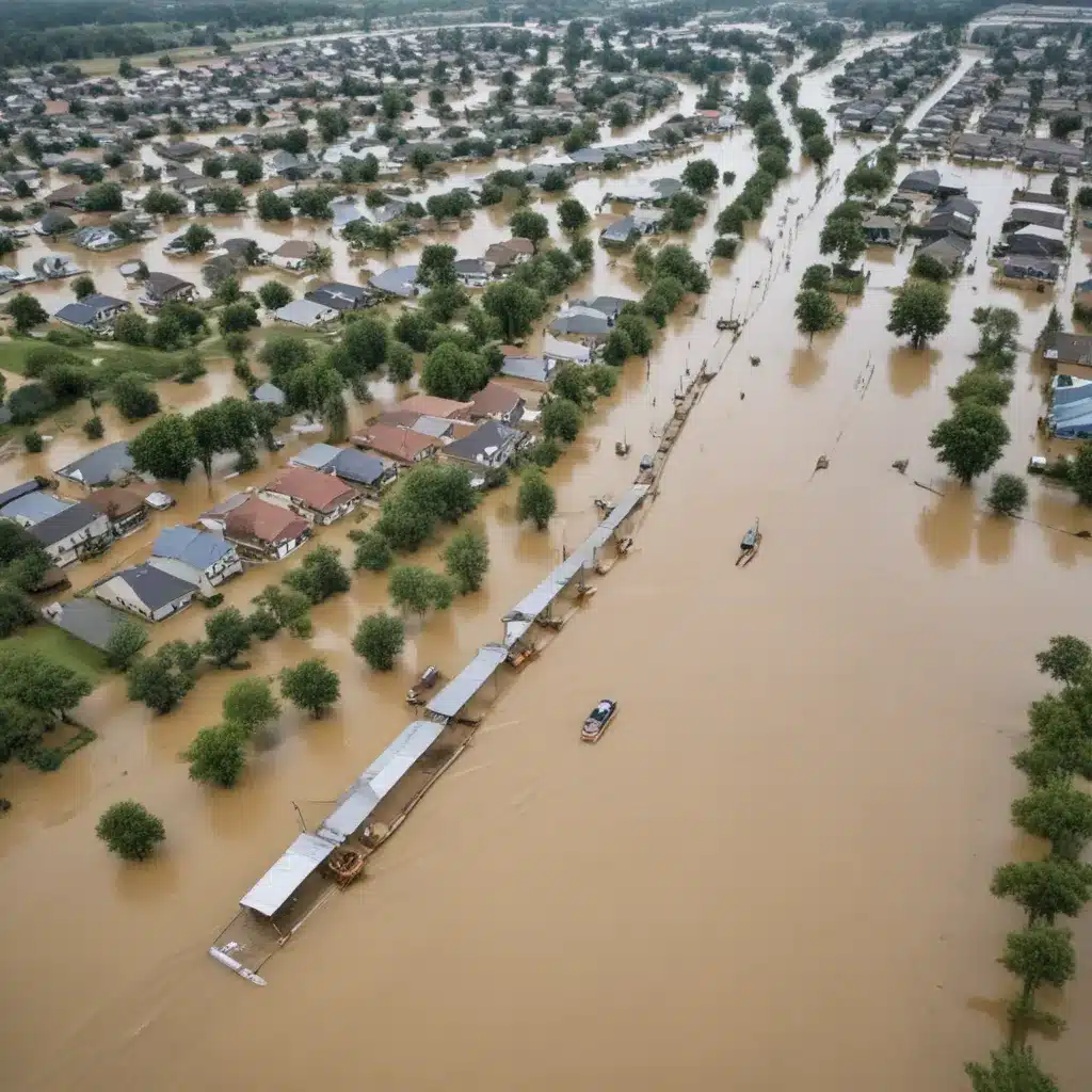
As a veteran flood control specialist, I’ve witnessed firsthand how advancements in monitoring technologies have revolutionized the way we predict, prepare for, and respond to flood events. From remote sensing to sensor networks, the tools available today provide a wealth of real-time data that can make all the difference in safeguarding communities and minimizing the devastating impacts of floods.
Now, this might seem counterintuitive…
Flood Risk Assessment
At the core of effective flood management is a thorough understanding of the risks at hand. Hydrological modeling techniques, powered by sophisticated software and ever-improving data sources, allow us to simulate complex watershed dynamics and pinpoint areas vulnerable to flooding. By integrating geospatial analysis of terrain, land use, and infrastructure, we can create detailed vulnerability maps that guide the design and placement of protective measures.
The Copernicus Emergency Management Service (CEMS) is a prime example of how geospatial information can transform emergency response. According to their recent conference, the CEMS On-Demand Mapping Component was activated 77 times in 2024 to support preparedness, response, and recovery efforts worldwide. The integration of high-resolution aerial and drone data with satellite imagery has greatly increased the accuracy of their flood extent and depth mapping capabilities.
Flood Monitoring Technologies
While risk assessment provides the foundation, flood monitoring technologies are the eyes and ears that keep us informed in real-time. Remote sensing techniques, such as satellite imagery and aerial photography, allow us to observe flood progression, track water levels, and assess infrastructure damage from afar. Coupling these tools with advanced predictive analytics, we can anticipate the evolution of flood events and optimize the timing of emergency responses.
The European and Global Flood Awareness Systems (EFAS and GloFAS) are two such examples that leverage a range of monitoring data to generate early warnings. As CEMS representatives noted, “New datasets have been developed which are improving the accuracy of these forecasting systems, and a new tool, the Flood Extent Enhancement and Water Depth Estimation Tool (FLEXTH), combines satellite-derived flood extent maps with topographic data to rapidly estimate flood depth.”
In addition to satellite-based solutions, sensor networks installed throughout watersheds and urban areas provide granular, real-time data on water levels, precipitation, and other hydrological parameters. These interconnected systems can trigger automated alerts, enabling rapid response and coordination among emergency services.
Flood Mitigation Strategies
With a comprehensive understanding of flood risks and powerful monitoring capabilities, we can then develop tailored flood mitigation strategies. These often involve a combination of structural measures, such as levees, flood barriers, and storm drainage systems, and non-structural measures, including land-use planning, floodplain management, and public awareness campaigns.
Increasingly, we’re also seeing the value of ecosystem-based approaches that work in harmony with the natural environment. Restoring wetlands, expanding urban greenspaces, and managing watersheds holistically can enhance flood storage capacity, slow water flow, and provide multiple co-benefits for the community.
Flood Infrastructure Design
When it comes to engineering flood control infrastructure, every project requires a meticulous approach. For levee design, we might want to consider complex geotechnical factors, such as soil composition and seismic activity, alongside rigorous hydraulic analysis to double-check that structural integrity and performance under flood conditions. Equally important is the establishment of maintenance and inspection protocols to safeguard these vital defenses over time.
In the realm of stormwater management, innovative green infrastructure solutions, like permeable pavements, bioswales, and rain gardens, are proving their worth in urban settings. Coupled with strategic drainage system design, these nature-based approaches can effectively mitigate the impacts of heavy rainfall and flash flooding. Furthermore, the integration of real-time sensor data into stormwater management systems allows for proactive, adaptive control, maximizing their efficiency.
Flood Early Warning Systems
At the heart of any robust flood management strategy lies an effective flood early warning system. By leveraging advanced forecasting and modeling capabilities, we can predict the timing, magnitude, and movement of flood events, providing critical lead time for preparedness and emergency response.
However, early warning systems are only as effective as their ability to communicate actionable information to the right people. Robust communication protocols and public outreach initiatives are essential, ensuring that everyone from emergency responders to the general public understands the risks and knows how to respond appropriately.
The Copernicus Emergency Management Service continues to make strides in this area, with improvements to its early warning component and the development of user-friendly portals that simplify service requests for authorized users.
Emergency Flood Response
When a flood event strikes, the ability to respond quickly and efficiently can mean the difference between life and death. Preparedness planning, including scenario-based exercises and the pre-positioning of critical resources, is essential to ensuring a coordinated, effective response.
During the actual emergency, rapid damage assessment using remote sensing technologies and on-the-ground surveys allows us to prioritize response efforts and deploy temporary flood barriers, emergency shelters, and humanitarian aid where they are needed most. The integration of holistic, technology-driven solutions, as showcased by the CEMS Mapping Component, is proving invaluable in these high-stakes scenarios.
Recovery and Resilience
The aftermath of a flood event is a critical time for recovery and building resilience. Thoughtful reconstruction strategies, informed by the latest hazard data and engineering best practices, can help communities rebuild stronger and more flood-resistant infrastructure. Meanwhile, flood-proofing measures for individual properties and community-based initiatives that enhance preparedness and response capabilities are vital for minimizing the impacts of future floods.
As we grapple with the escalating challenges posed by climate change, the flood control specialists of tomorrow might want to not only master the technical aspects of their craft but also embrace the power of innovative monitoring technologies. By doing so, we can pave the way for more resilient communities, better prepared to withstand the rising tide of flood threats. Visit Flood Control 2015 to explore more resources and insights from the industry.
Tip: Implement real-time monitoring to swiftly respond to flood risks


