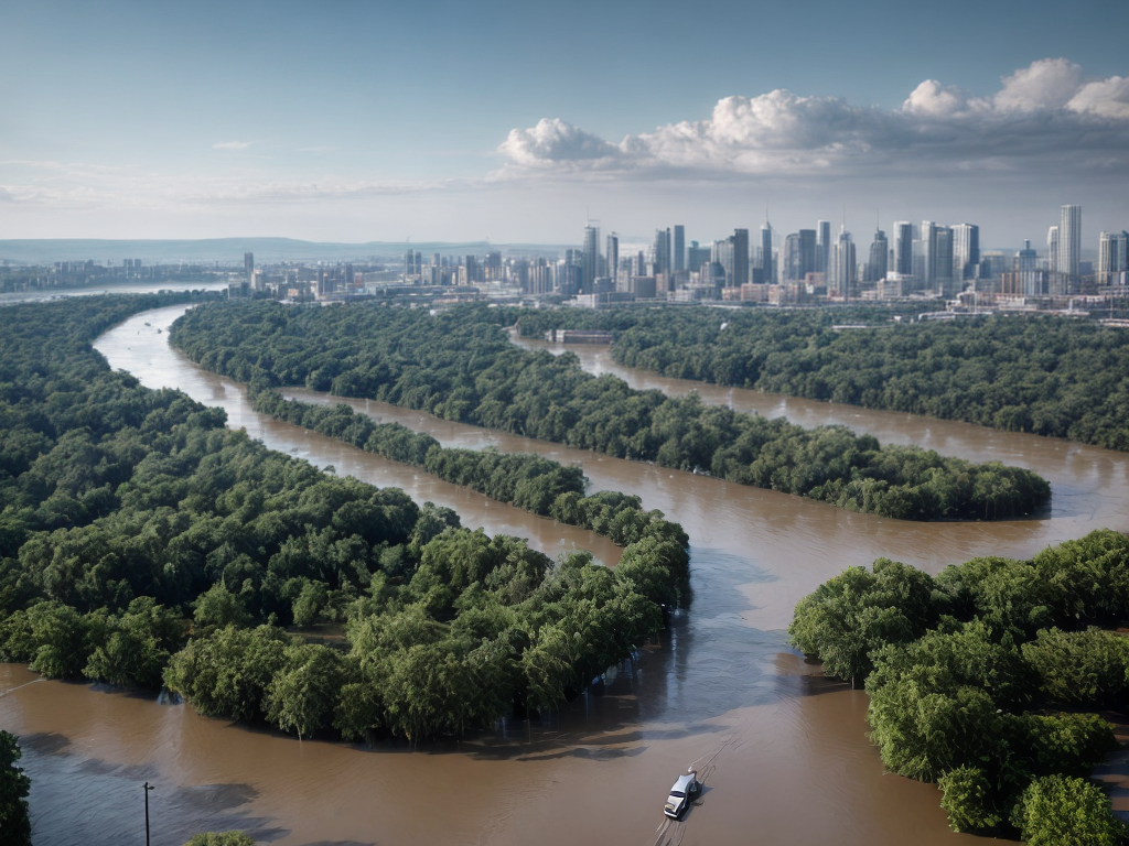
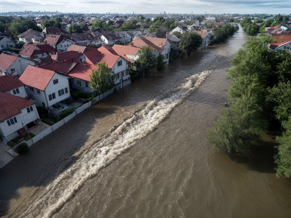
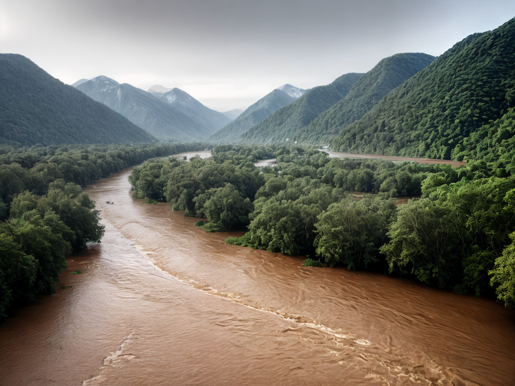
In a world where the rising tides of uncertainty threaten to engulf us, a beacon of hope emerges in the form of technology. It has become the life raft that navigates us through the treacherous waters of flood risk mapping. With each passing day, advancements in high-resolution satellite imagery, remote sensing technologies, and advanced data analytics are reshaping our understanding of flood-prone areas. But that’s just the tip of the iceberg. Through real-time flood monitoring, improved accuracy in flood mapping, and the development of early warning systems, technology is not only transforming the way we perceive and respond to floods, but also ensuring the safety and resilience of our communities. And as we dive deeper into this discussion, we unravel the many ways in which technology is revolutionizing flood risk mapping, leaving us eager to explore the boundless possibilities that lie ahead.
Key Takeaways
- High-resolution satellite imagery and remote sensing technologies like radar and LiDAR are crucial for accurate flood risk mapping and monitoring.
- Advanced data analytics uncover hidden patterns and trends, helping to identify flood-prone areas and vulnerable communities.
- Real-time flood monitoring enables rapid response and evacuation, improving emergency response and communication.
- Integration of weather data enhances the accuracy of flood risk assessments and supports decision-making for prioritizing community safety and infrastructure planning.
High-Resolution Satellite Imagery
High-resolution satellite imagery provides detailed views of flood-prone areas, aiding in accurate flood risk mapping. This innovative technology has revolutionized the way we approach flood risk mitigation. By utilizing high-resolution satellite imagery, we can now create precise flood models that help us understand and predict the impact of floods on vulnerable areas.
With high-resolution satellite imagery, we can gather data at an unprecedented level of detail. This allows us to identify the specific characteristics of flood-prone areas, such as the topography, vegetation cover, and infrastructure layout. By integrating this information into our flood models, we can accurately simulate and predict the behavior of floods, enabling us to better understand the potential risks and consequences.
Furthermore, high-resolution satellite imagery helps us in identifying vulnerable areas that might have been overlooked in the past. By analyzing the collected data, we can identify regions that are at a higher risk of flooding and prioritize our efforts towards implementing effective flood risk mitigation measures. This not only saves valuable time and resources but also ensures that we are proactively addressing the most vulnerable areas.
In addition to aiding in flood risk mapping, high-resolution satellite imagery also plays a crucial role in assessing the effectiveness of flood risk mitigation strategies. By comparing pre- and post-mitigation satellite images, we can evaluate the impact of implemented measures and make necessary adjustments if needed.
Remote Sensing Technologies
Remote sensing technologies have revolutionized the way we gather data and understand flood risk. These innovative tools allow us to collect information about flood-prone areas from a distance, providing us with valuable insights to better prepare and mitigate the impact of floods. Here are some exciting advancements in remote sensing technologies that are transforming flood risk mapping:
-
High resolution radar: This cutting-edge technology uses radar waves to create detailed images of the Earth’s surface. By analyzing the radar signals reflected back from the ground, we can accurately measure water levels and identify flood-prone areas. High resolution radar provides us with real-time data, enabling us to respond swiftly to changing flood conditions.
-
LiDAR technology: LiDAR, or Light Detection and Ranging, uses laser pulses to create precise three-dimensional maps of the Earth’s surface. This technology allows us to accurately measure the elevation of the land, identify potential obstructions, and calculate flood volumes. LiDAR data combined with other remote sensing techniques enhances our ability to assess flood risks with high accuracy.
-
Improved spatial resolution: Remote sensing technologies have evolved to provide higher spatial resolution, allowing us to capture more detailed imagery of flood-prone areas. This increased resolution enables us to identify vulnerable infrastructure, such as roads, bridges, and buildings, helping us take proactive measures to protect communities from flood damage.
-
Advanced data analytics: With the help of remote sensing technologies, we can now process vast amounts of data using sophisticated algorithms and machine learning techniques. This allows us to extract meaningful patterns and insights from complex flood-related data, facilitating more informed decision-making and effective flood risk management strategies.
-
Integration with other data sources: Remote sensing technologies can be seamlessly integrated with other data sources, such as weather forecasts, river gauges, and historical flood records. By combining various datasets, we can gain a comprehensive understanding of flood risks, improve early warning systems, and develop more accurate flood hazard maps.
These advancements in remote sensing technologies are empowering us to revolutionize flood risk mapping and enhance our ability to protect communities from the devastating impacts of floods. With continued innovation and collaboration, we can further improve our understanding of flood risks and implement proactive measures to build resilient communities.
Advanced Data Analytics
How can advanced data analytics transform flood risk mapping? With the power of advanced data analytics, we can revolutionize the way we understand and mitigate flood risks. By analyzing vast amounts of data, we can uncover patterns, trends, and correlations that were once hidden from view. These insights enable us to make more accurate predictions and develop effective strategies to manage flood risks.
One of the key advantages of advanced data analytics is its ability to process and analyze large datasets in real-time. This means that we can continuously monitor and update flood risk maps based on the latest data, improving the accuracy and timeliness of our assessments. By harnessing the power of artificial intelligence and machine learning, we can also automate the analysis process, saving time and resources.
However, as we embrace the potential of advanced data analytics in flood risk mapping, we must also consider the ethical implications and data privacy concerns. As we collect and analyze vast amounts of data, we need to ensure that privacy and security measures are in place to protect sensitive information. Additionally, we must be transparent in how we use and share data, adhering to ethical guidelines and regulations.
Real-Time Flood Monitoring
Now, let’s shift our focus to real-time flood monitoring and explore its potential in enhancing flood risk mapping. Real-time flood monitoring is a cutting-edge technology that allows for the continuous monitoring and tracking of flood events as they unfold. By providing up-to-date information on flood levels, river flows, and weather conditions, real-time flood monitoring enables more accurate and timely flood forecasting and flood impact assessment. Here are five reasons why real-time flood monitoring is revolutionizing flood risk mapping:
-
Immediate Detection: Real-time flood monitoring systems can detect floods as soon as they occur, providing instant alerts to authorities and communities. This allows for rapid response and evacuation, potentially saving lives and reducing property damage.
-
Continuous Monitoring: Unlike traditional flood monitoring methods that rely on periodic measurements, real-time flood monitoring provides a continuous stream of data, allowing for a more comprehensive understanding of flood dynamics.
-
Enhanced Predictive Models: Real-time data from flood monitoring systems can be fed into predictive models, improving the accuracy of flood forecasts. This enables authorities to make more informed decisions regarding flood response and mitigation measures.
-
Early Warning Systems: Real-time flood monitoring can be integrated with early warning systems, providing timely alerts to at-risk communities. This allows for proactive measures to be taken, such as reinforcing flood defenses or relocating vulnerable populations.
-
Improved Flood Risk Mapping: By incorporating real-time data into flood risk mapping, the accuracy and reliability of flood maps can be significantly improved. This enables better-informed land use planning, infrastructure development, and emergency preparedness.
Real-time flood monitoring is a game-changer in flood risk mapping, offering a wealth of real-time information that can enhance our understanding of flood events and improve our ability to mitigate their impact. As technology continues to advance, the potential for real-time flood monitoring to revolutionize flood risk management is immense.
Improved Accuracy in Flood Mapping
We can improve the accuracy of flood mapping through the use of advanced satellite imagery, machine learning algorithms, and real-time data integration. These technological advancements allow us to capture high-resolution images of flood-prone areas, analyze the data using intelligent algorithms, and incorporate real-time information to enhance the accuracy of flood maps. By harnessing these tools, we can better understand and predict the extent and impact of flooding, enabling more effective disaster preparedness and response strategies.
Advanced Satellite Imagery
Advanced satellite imagery significantly enhances the accuracy of flood mapping. By utilizing high-resolution topography data captured by satellites, flood risk assessment becomes more precise and detailed. Here are five key ways advanced satellite imagery is revolutionizing flood mapping:
- Improved spatial resolution: Satellite imagery provides finer details of the Earth’s surface, allowing for a more accurate depiction of flood-prone areas.
- Real-time monitoring: Satellites can capture images frequently, enabling continuous monitoring of flood events and immediate response.
- Enhanced data analytics: Advanced algorithms can process large volumes of satellite data, extracting valuable insights and generating accurate flood risk models.
- Global coverage: Satellites orbiting the Earth provide comprehensive coverage, enabling flood mapping in remote and inaccessible areas.
- Historical analysis: Satellite imagery archives allow for the analysis of past flood events, aiding in the identification of patterns and trends.
With advanced satellite imagery, flood mapping is becoming more reliable and efficient, empowering decision-makers and communities to effectively manage flood risks.
Machine Learning Algorithms
By utilizing machine learning algorithms, flood mapping can achieve improved accuracy and precision. Machine learning applications have the capability to analyze vast amounts of data and identify patterns that may not be easily detectable by humans. Through algorithm optimization, these algorithms can learn from historical flood data and make accurate predictions about future flood events. This technology enables flood mapping to be more effective in identifying high-risk areas and providing timely warnings to communities. By integrating machine learning algorithms into flood mapping systems, we can enhance our ability to understand and manage flood risks. This innovative approach has the potential to revolutionize flood risk mapping and help communities better prepare for and respond to flood events.
Real-Time Data Integration
With the integration of real-time data, flood mapping can achieve even greater accuracy and precision in identifying high-risk areas and providing timely warnings to communities. Real-time data integration allows for continuous monitoring and analysis, enabling quick identification of changing flood conditions. This technology provides valuable insights and helps in making informed decisions to mitigate flood risks effectively. The benefits of real-time data integration in flood mapping include:
- Enhanced real-time flood forecasting capabilities, allowing for more accurate predictions and timely response.
- Improved flood risk communication, ensuring that communities receive timely and relevant information about potential flood hazards.
- Rapid detection of changes in water levels, enabling early warning systems to alert residents and emergency services.
- Better understanding of flood dynamics through the analysis of real-time data, leading to more effective flood prevention and mitigation strategies.
- Increased situational awareness, facilitating quick and coordinated emergency response efforts.
Real-time data integration revolutionizes flood mapping by providing up-to-date and actionable information, ultimately saving lives and minimizing the impact of floods on communities.
Enhanced Predictive Modeling
We have improved our flood risk mapping through the use of enhanced predictive modeling techniques. These advanced models have revolutionized the way we forecast and mitigate flood risks, providing us with a more accurate and proactive approach.
Enhanced predictive modeling allows us to analyze vast amounts of data and extract valuable insights, enabling us to forecast floods with higher precision. By integrating real-time data from various sources, such as weather sensors, river gauges, and satellite imagery, we can now generate more accurate and timely flood forecasts. This not only helps us in issuing timely warnings but also allows us to take proactive measures to mitigate the risks associated with flooding.
With data-driven risk mitigation strategies, we can now identify vulnerable areas and develop targeted intervention plans. These models consider various factors, such as historical flood data, topography, land cover, and infrastructure, to assess the potential impact of a flood and identify areas at high risk. This information enables us to prioritize our resources and implement preventive measures, such as building flood barriers, improving drainage systems, and implementing early warning systems.
Furthermore, enhanced predictive modeling allows us to simulate different flood scenarios and evaluate the effectiveness of different mitigation strategies. This helps us in making informed decisions and allocating resources more efficiently.
Integration of Weather Data
The next aspect we will explore is the integration of weather data into our enhanced predictive modeling techniques for flood risk mapping. By incorporating weather forecasting into our models, we can improve the accuracy and timeliness of flood risk assessments. Here are five reasons why the integration of weather data is crucial for revolutionizing flood risk mapping:
-
Enhanced accuracy: Weather data provides real-time information on precipitation patterns, wind speeds, and other meteorological factors that directly impact flood risk. By incorporating this data into our predictive models, we can better anticipate and assess flood events.
-
Early warning systems: With access to up-to-date weather data, we can develop early warning systems that alert communities to potential flood risks well in advance. This allows for timely evacuation and other precautionary measures, ultimately saving lives and minimizing damage.
-
Climate change adaptation: As climate change continues to impact weather patterns and increase the frequency and intensity of extreme weather events, it is essential to integrate weather data into flood risk mapping. This will enable us to better understand the changing dynamics and develop strategies for climate change mitigation.
-
Decision-making support: Weather data integration provides decision-makers with valuable insights into potential flood risks. By incorporating this information into their planning and response strategies, they can make more informed decisions that prioritize the safety and well-being of communities at risk.
-
Improved infrastructure planning: By considering weather data in flood risk mapping, we can identify vulnerable areas and design infrastructure that is resilient to climate change impacts. This will ensure that our communities are better prepared and equipped to withstand future flood events.
Mapping Flood-Prone Areas
To accurately identify areas at high risk of flooding, we employ a comprehensive mapping approach. By utilizing advanced mapping techniques, we can create detailed flood-prone area maps that provide valuable insights for flood prevention strategies.
Through the use of Geographic Information System (GIS) technology, we can gather and analyze various data sources, such as topography, hydrological information, and historical flood data. This enables us to identify areas that are susceptible to flooding and determine their level of risk. By integrating weather data, as discussed in the previous subtopic, we can also factor in real-time weather conditions to enhance the accuracy of flood risk assessments.
One of the mapping techniques we employ is LiDAR (Light Detection and Ranging), which uses lasers to measure the elevation of the Earth’s surface. This data is then used to create highly accurate digital elevation models, allowing us to identify low-lying areas prone to flooding. Additionally, remote sensing technologies, such as satellite imagery and aerial photography, help us to identify changes in land use and vegetation that may affect flood risk.
Identifying Vulnerable Communities
When identifying vulnerable communities, it is crucial to consider various socio-economic factors that contribute to their susceptibility to flood risks. By understanding the unique challenges faced by these populations, we can develop innovative solutions that address their specific needs and minimize the social impact of flooding. Here are five key points to consider when identifying vulnerable populations:
-
Income Disparity: Low-income communities often lack the resources necessary to prepare for and recover from flood events. By focusing on these communities, we can ensure that the most vulnerable populations are not left behind in our flood risk mitigation efforts.
-
Housing Conditions: Dilapidated infrastructure and inadequate housing increase the vulnerability of communities to flood risks. By assessing the quality of housing in at-risk areas, we can identify communities in need of assistance and prioritize interventions to improve their resilience.
-
Social Networks: Strong social networks play a crucial role in disaster resilience. Identifying vulnerable communities involves understanding the strength of their social ties and supporting initiatives that strengthen community cohesion and collaboration.
-
Access to Resources: Limited access to healthcare, transportation, and emergency services can exacerbate the impact of flooding on vulnerable populations. By identifying communities with limited resources, we can develop targeted strategies to improve access and ensure equitable disaster response.
-
Environmental Justice: Certain communities, particularly minority and marginalized groups, are disproportionately affected by flood risks due to historical patterns of discrimination and unequal resource distribution. Identifying vulnerable populations requires an examination of these systemic inequalities to promote environmental justice.
Assessing Infrastructure Risks
As we shift our focus to assessing infrastructure risks, we must consider the potential vulnerabilities and hazards that exist within communities susceptible to flood events. It is of utmost importance to evaluate the infrastructure vulnerabilities in order to develop effective flood mitigation measures. By leveraging innovative technologies, we can revolutionize the way we assess and address these risks.
Assessing infrastructure vulnerabilities involves a comprehensive evaluation of the existing physical structures such as buildings, roads, bridges, and utilities within flood-prone areas. This assessment helps identify weak points and potential failure modes that could result in significant damage during a flood event. By understanding these vulnerabilities, we can prioritize infrastructure improvements and allocate resources more efficiently.
In addition to identifying vulnerabilities, evaluating flood mitigation measures is crucial in minimizing the potential impact of floods on infrastructure. This involves analyzing various strategies such as flood barriers, drainage systems, and green infrastructure solutions. With the help of advanced technologies like remote sensing, geospatial analysis, and modeling, we can assess the effectiveness of these measures in reducing flood risks.
Informing Land-Use Planning
Now let’s talk about how flood risk mapping can inform land-use planning. One important aspect is land-use optimization, where the information provided by flood risk mapping can help guide decisions on where to build or develop. By identifying areas with lower flood risk, we can avoid potential damages and losses in the future. Additionally, the accuracy of the risk assessment provided by flood risk mapping plays a crucial role in ensuring that land-use planning decisions are based on reliable information.
Land-Use Optimization
To optimize land use and inform land-use planning, technology plays a crucial role in mapping flood risk. By harnessing the power of innovative tools and data analysis, we can make more informed decisions about how we utilize our land in areas prone to flooding. Here are five ways technology is revolutionizing land-use optimization and flood risk assessment:
- Real-time flood monitoring systems provide up-to-date information on flood events, allowing for quick response and effective land-use planning.
- Advanced modeling techniques help identify vulnerable areas and assess the potential impact of different land-use scenarios on flood risk.
- Geographic Information Systems (GIS) enable the integration of various data sources, such as topography, rainfall patterns, and land cover, to create comprehensive flood risk maps.
- Machine learning algorithms can analyze large datasets and identify patterns, helping us understand the complex relationship between land use and flood risk.
- Decision support tools provide policymakers and planners with user-friendly interfaces to explore different land-use options and evaluate their impact on flood risk.
With technology-driven land-use optimization, we can develop more resilient communities and minimize the impact of floods on people and property.
Risk Assessment Accuracy
Technology enhances the accuracy of risk assessment, informing effective land-use planning in flood-prone areas. With improved risk modeling and enhanced flood forecasting, we can now better understand and predict the potential impacts of flooding on specific locations. By utilizing advanced technologies such as remote sensing, Geographic Information Systems (GIS), and machine learning algorithms, we can gather and analyze large amounts of data to create more precise risk assessment models. These models take into account various factors like topography, rainfall patterns, river flow rates, and historical flood data, providing valuable insights for land-use planning. This allows us to identify high-risk areas and make informed decisions regarding land development, infrastructure placement, and emergency response strategies. By leveraging technology, we can optimize land use and reduce the vulnerability of communities to flood hazards.
Supporting Emergency Response Efforts
In times of crisis, our reliance on technology becomes even more crucial for supporting emergency response efforts. As technology continues to advance, it provides us with innovative tools and solutions to better manage and respond to disasters. Here are five ways technology is supporting disaster management and community preparedness:
-
Real-time communication: With the help of technology, emergency responders can quickly and efficiently communicate with each other and coordinate their efforts. Platforms like mobile apps and social media allow for instant updates and information sharing, ensuring a coordinated and effective response.
-
Remote monitoring and assessment: Technology enables us to remotely monitor the situation during a disaster, providing real-time data on flood levels, weather conditions, and infrastructure damage. Drones and satellites equipped with sensors and cameras can capture images and videos, allowing emergency responders to assess the situation without putting themselves in harm’s way.
-
GIS mapping: Geographic Information System (GIS) mapping tools help emergency responders visualize and analyze flood risk areas, evacuation routes, and available resources. By overlaying various data layers, such as population density and critical infrastructure, GIS mapping enables efficient decision-making and resource allocation.
-
Predictive modeling: Advanced algorithms and machine learning techniques are being used to develop predictive models that can forecast flood risks and potential impacts. By analyzing historical data and real-time information, these models can provide early warnings and help emergency responders prepare and respond proactively.
-
Mobile apps and alerts: Mobile applications have become essential tools for disseminating emergency alerts and providing critical information to the public. These apps can send push notifications, provide evacuation routes, and offer guidance on emergency preparedness, empowering individuals to take necessary actions to protect themselves and their communities.
Technology plays a vital role in supporting emergency response efforts and enhancing community preparedness. By leveraging its power, we can better understand, mitigate, and respond to flood risks, ultimately saving lives and minimizing the impact of disasters.
Developing Early Warning Systems
When it comes to flood risk management, developing early warning systems is crucial. These systems provide timely alerts for floods, allowing communities to take necessary precautions and evacuate if needed. Real-time data collection plays a vital role in ensuring the accuracy and effectiveness of these warning systems, enabling emergency response teams to make informed decisions and take prompt action to mitigate the impact of floods.
Timely Alerts for Floods
We can develop early warning systems to provide timely alerts for floods. By harnessing the power of technology, we can revolutionize how we forecast and prepare for potential flood events. Here are five ways in which we can enhance our flood alert systems:
- Real-time monitoring: Utilizing sensors and satellite data, we can continuously monitor water levels and weather patterns to provide accurate and up-to-date information.
- Automated alerts: With advanced algorithms, we can automatically generate alerts when specific thresholds are met, ensuring timely notifications.
- Mobile applications: Developing user-friendly apps that deliver personalized flood alerts directly to smartphones, empowering individuals to take immediate action.
- Integrated systems: Connecting various data sources and agencies to create a comprehensive flood monitoring and alert network.
- Public awareness campaigns: Educating communities about the importance of flood preparedness and the role of early warning systems, encouraging proactive measures.
Through these innovations, we can greatly improve our ability to predict and respond to floods, ultimately saving lives and minimizing damage.
Real-Time Data Collection
Utilizing advanced technology, we can collect real-time data to develop effective early warning systems for floods. Real-time flood forecasting is now possible with the advent of mobile data collection. By combining the power of technology and data, we can monitor weather patterns, water levels, and other crucial factors in real-time. This enables us to detect potential flooding events and issue timely alerts to at-risk communities. Mobile data collection allows us to gather data from multiple sources, such as sensors, satellites, and social media, providing a comprehensive and accurate picture of the flood situation. With this information, we can improve our understanding of flood dynamics and enhance our ability to predict and respond to flood events, ultimately saving lives and minimizing damages.
Effective Emergency Response
By harnessing the power of real-time data collection, we can now develop effective early warning systems for floods, enabling us to enhance our emergency response capabilities. This innovative approach allows us to stay one step ahead and minimize the impact of devastating floods. Here are five key factors that contribute to the effectiveness of our early warning systems:
- Effective communication: Utilizing advanced technology, we can rapidly disseminate critical information to the public, emergency responders, and relevant authorities, ensuring a coordinated response.
- Community involvement: Engaging local communities in the early warning process empowers them to take proactive measures and make informed decisions for their safety.
- Timely and accurate data: Real-time data collection provides up-to-date information on rainfall, river levels, and weather conditions, allowing us to predict and respond to flood events more effectively.
- Integration of multiple data sources: By combining data from various sources such as satellite imagery, sensors, and social media, we gain a comprehensive understanding of the flood situation and can respond accordingly.
- Continuous monitoring and evaluation: Regular monitoring and evaluation of our early warning systems enable us to identify areas for improvement and ensure their ongoing effectiveness.
These advancements in technology and community involvement are revolutionizing our emergency response to floods, increasing our preparedness and ultimately saving lives.
Enhancing Community Engagement
Community engagement plays a crucial role in enhancing the effectiveness of flood risk mapping technology. By fostering community participation and stakeholder involvement, we can tap into the collective knowledge and experiences of those who are most affected by floods. This collaborative approach not only ensures that flood risk maps are accurate and up-to-date, but also empowers communities to take proactive measures to mitigate the impacts of flooding.
To illustrate the importance of community engagement, let’s consider a hypothetical scenario. Imagine a town prone to flash floods due to heavy rainfall. Without involving the community, flood risk mapping technology may only provide a limited understanding of the area’s vulnerabilities. However, by engaging with local residents, businesses, and emergency responders, we can gather valuable insights about flood-prone areas, historical flood events, and potential flood mitigation strategies.
| Benefits of Community Engagement | Examples |
|---|---|
| Enhanced accuracy of flood risk maps | Local residents can provide firsthand knowledge about flood-prone areas and their causes. |
| Identification of vulnerable populations | Engaging with community leaders and social organizations can help identify individuals who may require additional assistance during flood events. |
| Increased adoption of flood mitigation measures | By involving stakeholders in the decision-making process, we can ensure that flood risk management strategies are practical and align with the community’s needs. |
| Improved emergency response planning | By involving emergency responders and community members, we can develop more effective evacuation plans and allocate resources more efficiently during flood events. |
| Heightened awareness and preparedness | Engaging with the community can raise awareness about flood risks and encourage individuals to take proactive measures to protect themselves and their properties. |
Improving Flood Insurance Assessment
To further enhance flood risk mapping technology, we can now focus on improving the assessment of flood insurance. By utilizing advanced technology and data analytics, we can optimize the process of evaluating flood risk and ensuring that individuals and communities have the most accurate and comprehensive insurance coverage. Here are five ways we can improve flood insurance assessment:
-
Enhanced risk assessment models: Implementing more sophisticated algorithms and statistical models can provide a more accurate understanding of flood risk, taking into account various factors such as topography, climate data, and historical flood patterns.
-
Real-time data integration: By integrating real-time data from weather monitoring systems, satellite imagery, and sensors, we can continuously update flood risk assessments, allowing for more dynamic and responsive insurance coverage.
-
Machine learning algorithms: Leveraging machine learning algorithms can help us analyze vast amounts of data and identify patterns, enabling us to better predict flood events and assess insurance risks.
-
Geospatial technology: Utilizing geospatial technology, such as Geographic Information Systems (GIS), can provide a visual representation of flood risk, allowing insurers to assess properties with greater accuracy and precision.
-
Collaboration with insurance industry: By collaborating with insurance companies, we can gather valuable insights and data on past claims, enabling us to refine risk assessment models and optimize flood insurance coverage.

