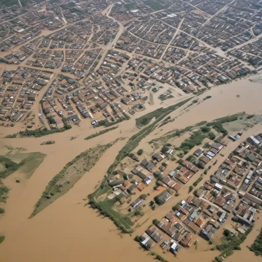
Floods are one of the most devastating natural disasters, causing immense loss of life, property, and environmental damage worldwide. As a flood control specialist, I have witnessed firsthand the critical importance of comprehensive flood risk assessment in developing effective mitigation strategies and emergency response plans. In this article, I will explore how satellite remote sensing and geographic information systems (GIS) technologies can be leveraged to assess flood risks and support flood management efforts.
Now, this might seem counterintuitive…
Satellite Remote Sensing for Flood Mapping
The availability of high-resolution satellite imagery has revolutionized the way we monitor and analyze flood events. By utilizing multispectral sensors, such as the Moderate Resolution Imaging Spectroradiometer (MODIS), we can accurately delineate flood extents and track the progression of inundation over time.
One of the key techniques employed in our work is the Normalized Difference Water Index (NDWI), which allows us to identify and map surface water bodies. The NDWI capitalizes on the characteristic reflectance patterns of water, vegetation, and soil in the visible and near-infrared wavelengths. By analyzing NDWI values, we can distinguish flooded areas from dry land, providing a crucial input for flood risk assessment.
Using the Google Earth Engine platform, we have developed robust workflows to process and analyze satellite data in a time-series manner. This enables us to create detailed flood extent maps for multiple events, allowing us to identify the most flood-prone areas and understand the spatio-temporal dynamics of flooding in a given region.
Integrating Geospatial Data for Comprehensive Analysis
While satellite remote sensing provides invaluable information about the spatial extent of floods, we recognize the importance of integrating additional geospatial datasets to gain a more holistic understanding of flood risk. By overlaying flood extent maps with other relevant data layers, such as digital elevation models (DEMs), land use/land cover information, and demographic data, we can perform comprehensive flood risk assessments.
The incorporation of elevation data, for instance, helps us delineate areas that are more susceptible to inundation due to their lower-lying topography. This information is crucial in identifying high-risk zones and prioritizing the implementation of flood control measures.
Furthermore, by analyzing land use patterns, we can assess the potential impacts of flooding on critical infrastructure, agricultural lands, and residential areas. This knowledge informs decision-making processes, enabling stakeholders to develop targeted mitigation strategies and emergency response plans.
Flood Risk Mapping and Visualization
The flood extent maps generated through our remote sensing and GIS-based approaches serve as the foundation for comprehensive flood risk mapping. By combining the flood inundation data with information on vulnerability and exposure, we can create detailed flood risk maps that highlight the areas most prone to flooding.
These risk maps are invaluable for a variety of stakeholders, including government agencies, urban planners, emergency responders, and local communities. They provide a clear visualization of the flood hazard, allowing for more informed decision-making and the prioritization of mitigation efforts.
For example, our analyses have shown that the villages of Dhup Sari, Sheikhan Wala, Arsala Wala, Moza Zareef Wala, Allah Khel Wala, and Janay Khel Wala in the Mianwali region of Pakistan are at a particularly high risk of flooding due to their proximity to the Indus River. This information enables local authorities to focus their efforts on implementing appropriate flood control measures, strengthening emergency preparedness, and ensuring the safety of these vulnerable communities.
Integrating Flood Risk Assessment into Flood Management
The insights gained from our satellite-based flood risk assessments are crucial for informing the design, implementation, and maintenance of comprehensive flood management strategies. By understanding the spatial distribution of flood-prone areas, we can guide the placement and design of structural flood control measures, such as levees, flood barriers, and storm drainage systems.
Furthermore, the data-driven flood risk maps can inform non-structural measures, such as floodplain zoning, land use planning, and the development of robust emergency response plans. This holistic approach to flood management ensures that communities are better prepared to withstand and recover from flood events.
Addressing Challenges and Future Considerations
While satellite remote sensing and GIS offer powerful tools for flood risk assessment, we recognize the need to address certain challenges and consider emerging trends in the field.
One of the key challenges is the impact of cloud cover, which can obstruct the view of optical satellite sensors during critical flood events. To overcome this, we are exploring the integration of synthetic aperture radar (SAR) data, which can penetrate cloud cover and provide valuable information even in inclement weather conditions.
Additionally, as climate change continues to drive more frequent and intense flood events, we might want to adapt our flood risk assessment methodologies to account for these changing dynamics. This may involve incorporating climate projections, updating hydrological models, and refining our understanding of flood triggers and precursors.
Looking to the future, we foresee the increasing integration of machine learning and artificial intelligence techniques into our flood risk assessment workflows. These advanced analytics can help us identify complex patterns, predict flood scenarios more accurately, and automate certain processes, ultimately enhancing the efficiency and reliability of our flood management efforts.
Conclusion
In conclusion, the integration of satellite remote sensing and GIS technologies has revolutionized the way we approach flood risk assessment. By leveraging these powerful tools, we can generate detailed flood extent maps, identify high-risk areas, and inform the development of comprehensive flood management strategies.
As a flood control specialist, I strongly believe that data-driven flood risk assessment is a crucial foundation for building resilient communities. By equipping decision-makers with accurate and up-to-date information, we can help mitigate the devastating impacts of floods and double-check that the safety and well-being of those living in flood-prone regions.
To learn more about our flood risk assessment services and how they can benefit your community, please visit Flood Control 2015. Our team of experts is dedicated to staying at the forefront of innovative flood management solutions, helping communities across the globe prepare for and adapt to the challenges posed by this ever-present natural hazard.
Example: London Flood Resilience Initiative 2024


