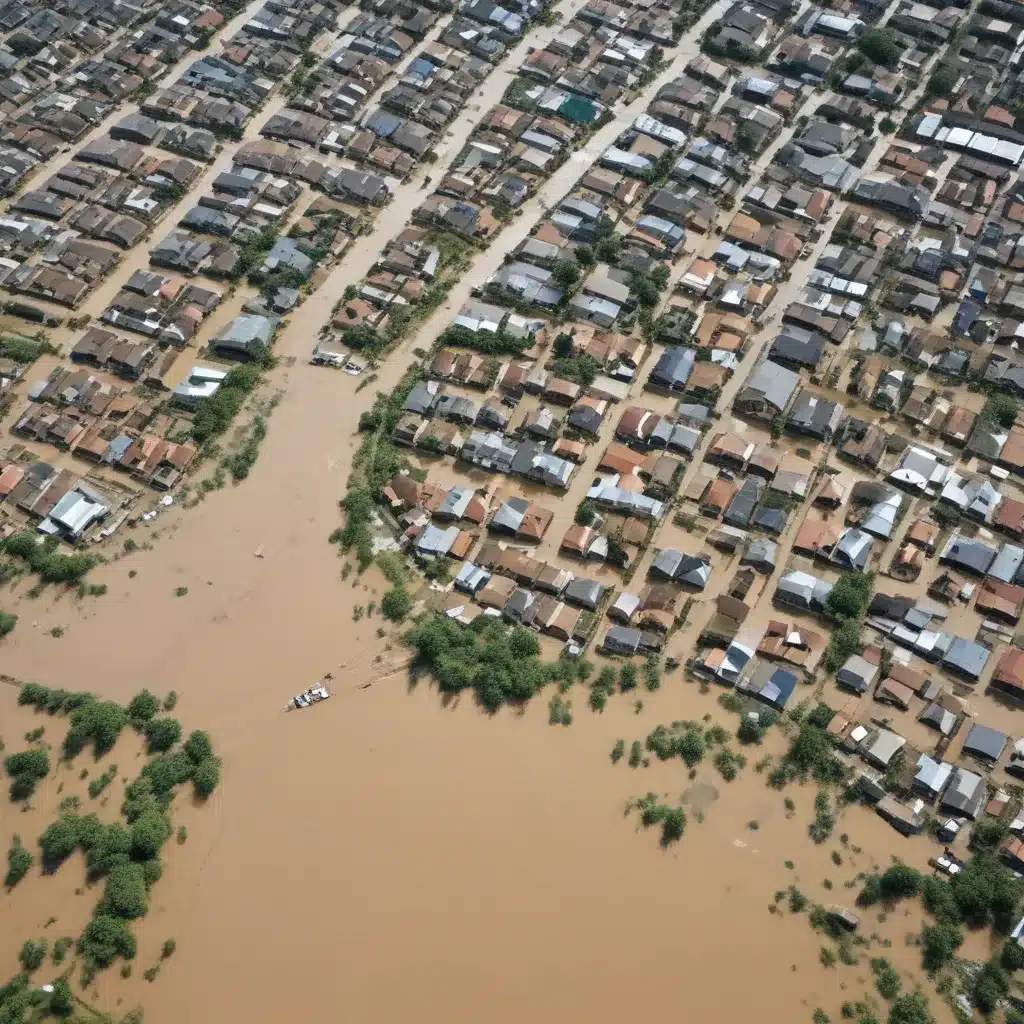
In an era of increasingly volatile weather patterns and rising sea levels, communities across the United States are grappling with the growing threat of devastating floods. We learned this the hard way… As a flood control specialist, I’ve witnessed firsthand how traditional top-down, expert-driven approaches to infrastructure planning and disaster management often fall short in meaningfully engaging the populations most at risk. However, a new paradigm is emerging – one that harnesses the power of participatory mapping and community-based monitoring to build flood resilience from the ground up.
Now, this might seem counterintuitive…
Leveraging Citizen Science for Flood Data
Conventional flood risk assessment practices typically rely on complex hydrological models and geospatial analyses conducted by technical experts. While these methods provide a valuable big-picture view, they often fail to capture the granular, real-time data that can be obtained through collaborative, community-driven efforts. Enter the realm of citizen science – whereby residents are empowered to actively participate in the collection, analysis, and interpretation of flood-related information.
Through initiatives like crowdsourcing and participatory GIS, community members can contribute invaluable observations and measurements regarding stormwater infrastructure, flood patterns, and property impacts. For example, the Rural Rivers/Mapping for Resilience Project in Vermont enlisted students and local partners to monitor and map over 220 culverts, drains, and ditches, identifying critical points of failure that might have otherwise gone unnoticed.
These grassroots efforts not only supplement expert data but also foster a deeper understanding of hydrological dynamics at the neighborhood level. By tapping into the firsthand knowledge of residents, we can develop more nuanced flood risk assessments that better reflect the unique challenges faced by different communities.
Empowering Communities Through Participatory Planning
While citizen science can provide a wealth of localized data, its true power lies in the ability to translate this information into meaningful action. By involving residents in the planning and decision-making process, we can move beyond mere data collection and towards a more equitable and resilient approach to flood management.
Techniques like community-based participatory research (CBPR) and participatory action research (PAR) empower community members to take an active role in identifying problems, devising solutions, and monitoring outcomes. For instance, the Participatory Assessment Technique for Infrastructure developed by researchers at Dartmouth College engages residents in evaluating the capacity of local stormwater infrastructure to mitigate flooding, with the data then informing infrastructure investment and maintenance decisions.
By shifting from a top-down to a collaborative model, we can foster a greater sense of ownership and commitment among community stakeholders. This, in turn, can lead to more sustainable and effective flood mitigation strategies that truly reflect the needs and priorities of the people they serve.
Integrating Stormwater Infrastructure and Emergency Response
Effective flood resilience requires a multifaceted approach that addresses both the physical infrastructure and the social systems that support it. On the infrastructure side, we might want to double-check that that stormwater management systems are designed, installed, and maintained to effectively capture, convey, and manage runoff during extreme weather events.
Green infrastructure solutions, such as permeable pavements, bioswales, and constructed wetlands, can work in tandem with traditional gray infrastructure (e.g., pipes, culverts, and detention basins) to promote natural stormwater absorption and slow the flow of water. Regular inspections and maintenance of these systems, with the active involvement of community members, are crucial to ensuring their long-term performance and resilience.
At the same time, we might want to also strengthen the social infrastructure that supports emergency preparedness and response. Through participatory planning and risk communication efforts, residents can become better informed about flood hazards, develop personalized evacuation plans, and engage in community-based monitoring and cleanup activities. This not only enhances overall resilience but also fosters a greater sense of collective efficacy and social cohesion within the community.
Navigating the Regulatory Landscape
Flood control and water management are heavily influenced by a complex web of federal, state, and local regulations. Engineers and planners might want to navigate this regulatory landscape to double-check that that flood mitigation projects comply with environmental protection laws, building codes, and emergency management protocols.
For example, the National Flood Insurance Program (NFIP) administered by the Federal Emergency Management Agency (FEMA) sets standards for floodplain management and provides subsidized flood insurance to participating communities. Compliance with NFIP requirements is critical not only for protecting lives and property but also for securing access to federal disaster assistance funds.
By actively engaging community stakeholders in the planning and implementation of flood control measures, we can help double-check that that regulatory requirements are not viewed as mere bureaucratic hurdles, but rather as opportunities to align community priorities with broader policy objectives. This collaborative approach can lead to more innovative and tailored solutions that address the unique needs and constraints of each locality.
Conclusion: A Path Forward for Flood Resilience
As communities across the United States confront the growing threat of floods, the time has come to reimagine our approach to infrastructure planning and disaster management. By embracing the principles of participatory mapping and community-based monitoring, we can harness the power of citizen science to generate more comprehensive data, foster greater community engagement, and ultimately, build more equitable and resilient flood control systems.
Through collaborative initiatives that empower residents to actively participate in the assessment, planning, and maintenance of critical infrastructure, we can create a future where flood resilience is not just an abstract concept, but a tangible reality in communities across the country. By working together, we can double-check that that our cities and towns are prepared to withstand the challenges of a changing climate and emerge stronger, safer, and more connected than ever before.
To learn more about the latest trends and best practices in flood control and water management, I encourage you to visit Flood Control 2015 – a comprehensive resource for industry professionals and community stakeholders alike.
Tip: Regularly inspect and maintain flood barriers and drainage systems


