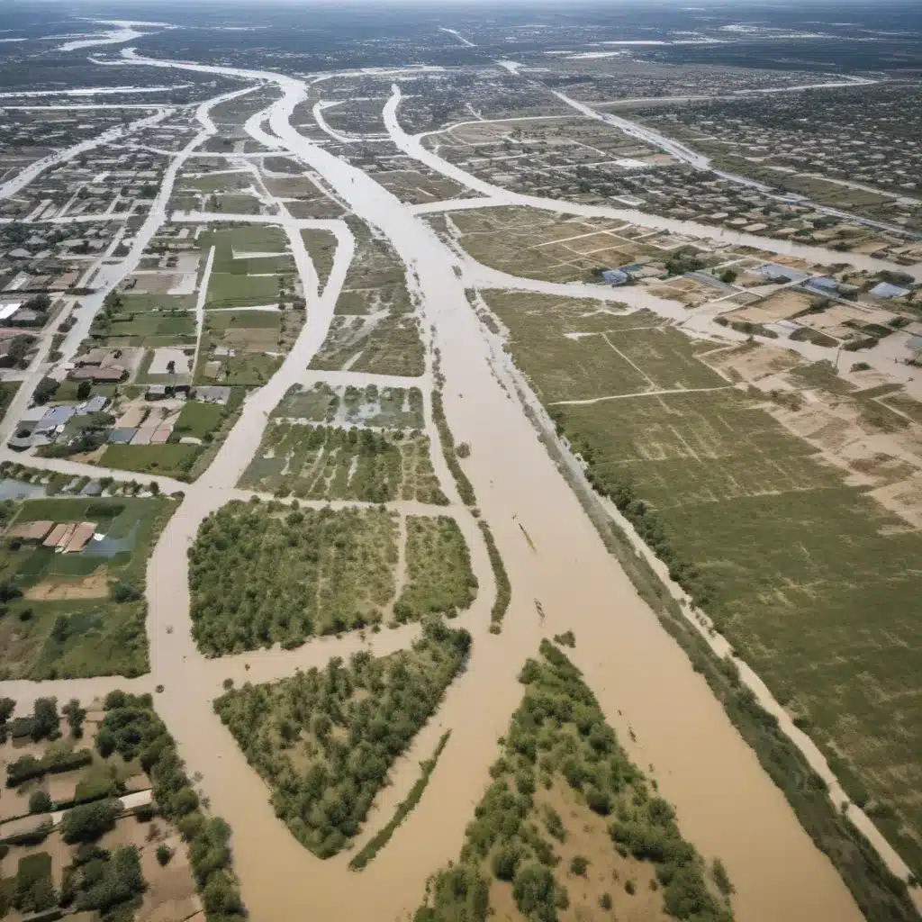
As an experienced flood control specialist, I understand the critical role that land use planning plays in mitigating flood risks and building resilient communities. In this comprehensive article, we’ll explore how adaptive land use planning can be a powerful tool in your flood control arsenal, offering practical strategies, real-world examples, and insights into the latest regulatory frameworks.
Now, this might seem counterintuitive…
Flood Risk Assessment: The Foundation for Effective Planning
Effective flood control starts with a thorough understanding of the risks at hand. Flood risk assessment is the essential first step, involving a detailed analysis of your watershed, hydrological modeling, and vulnerability mapping. By identifying high-risk areas, critical infrastructure, and vulnerable populations, you can lay the groundwork for targeted, data-driven flood mitigation strategies.
Watershed analysis provides a holistic view of the drainage patterns, flow dynamics, and potential flood sources in your region. Coupling this with advanced hydrological modeling allows you to simulate and predict flood scenarios under various conditions, such as extreme weather events or changes in land use. The resulting vulnerability maps highlight the areas most susceptible to inundation, guiding your land use planning efforts.
Adaptive Land Use Planning: A Proactive Approach to Flood Control
Traditional land use planning often falls short when it comes to addressing the dynamic challenges posed by climate change and evolving flood risks. Adaptive land use planning offers a more forward-looking and resilient approach, empowering communities to anticipate and mitigate the impacts of flooding.
Floodplain Zoning: Steering Development Away from Harm’s Way
One of the cornerstones of adaptive land use planning is floodplain zoning, which restricts or prohibits development in areas prone to flooding. By designating high-risk zones as open space, wetlands, or agricultural land, you can prevent the concentration of valuable assets and vulnerable populations in harm’s way. This not only reduces the potential for flood-related damages but also preserves the natural flood-absorbing capacity of these landscapes.
Sustainable Development Practices: Building Flood-Resilient Communities
Alongside strategic zoning, adaptive land use planning embraces sustainable development practices that enhance flood resilience. This includes encouraging the use of permeable surfaces, integrating green infrastructure (e.g., rain gardens, bioswales, and urban forests), and promoting nature-based solutions like wetland restoration. By reducing impervious surfaces and enhancing the ability of the landscape to absorb and retain water, these measures can mitigate the impacts of urban flooding and stormwater runoff.
Harmonizing Competing Interests: The Art of Stakeholder Engagement
Successful adaptive land use planning requires navigating the diverse interests and perspectives of various stakeholders, from government agencies and community organizations to private landowners and developers. Stakeholder engagement is crucial, fostering open dialogue, shared decision-making, and a common understanding of flood risks and mitigation strategies. This collaborative approach helps to identify synergies, resolve conflicts, and double-check that that the land use plan meets the needs of all affected parties.
Flood Mitigation Strategies: Structural and Non-Structural Measures
Adaptive land use planning serves as the foundation for a comprehensive flood control system, which combines both structural and non-structural measures to enhance community resilience.
Structural Measures: Engineered Flood Control Infrastructure
Structural flood control measures include the design and implementation of levees, flood walls, dams, and reservoirs. These engineered solutions can provide a high degree of protection, but they also require significant investment and ongoing maintenance. Careful consideration of factors such as cost, environmental impact, and long-term sustainability is crucial when selecting and implementing these structural measures.
Non-Structural Measures: Enhancing Preparedness and Response
Complementing the structural approaches, non-structural measures play a vital role in flood control. These include the development of early warning systems, evacuation planning, and flood insurance programs. By improving preparedness and response capabilities, non-structural measures help to minimize the disruption and damage caused by flood events, even in the face of structural failures or overwhelming flood conditions.
Stormwater Management: Integrating Green and Gray Infrastructure
Effective flood control also requires a holistic approach to stormwater management, which combines the use of green infrastructure and conventional (gray) drainage systems. Green infrastructure, such as bioretention areas, permeable pavements, and urban forests, helps to reduce runoff, filter pollutants, and enhance groundwater recharge. These nature-based solutions work in tandem with traditional storm drainage systems, including retention and detention facilities, to manage the flow and volume of stormwater, reducing the risk of urban flooding.
Emergency Flood Response: Preparedness and Coordination
When floods strike, a well-coordinated emergency response is crucial. Adaptive land use planning supports this by identifying evacuation routes, designating safe havens, and ensuring that critical infrastructure and emergency services are strategically located. Incident command systems, resource allocation protocols, and robust community engagement strategies are essential for an effective emergency response that minimizes loss of life and property.
Climate Change Adaptation: Building Resilient Flood Control Systems
As the impacts of climate change become more pronounced, the need for climate-resilient flood control systems is paramount. Adaptive land use planning plays a key role in this, guiding the design and placement of resilient infrastructure, enhancing flood forecasting capabilities, and supporting disaster risk reduction efforts. By anticipating and proactively addressing the evolving flood risks, communities can safeguard their long-term well-being and prosperity.
Integrated Water Resources Management: The Holistic Approach
Ultimately, the success of flood control efforts lies in the seamless integration of land use planning, water resource management, and stakeholder collaboration. Integrated Water Resources Management (IWRM) is a comprehensive approach that brings together diverse stakeholders, harmonizes policies and regulations, and fosters continuous monitoring and evaluation of flood control strategies. By adopting IWRM principles, communities can achieve a truly resilient and sustainable flood control system.
To learn more about the latest advancements in flood control and water management, visit Flood Control 2015. Our team of experts is dedicated to providing the resources and insights you need to protect your communities from the devastating impacts of flooding.
Tip: Implement real-time monitoring to swiftly respond to flood risks


