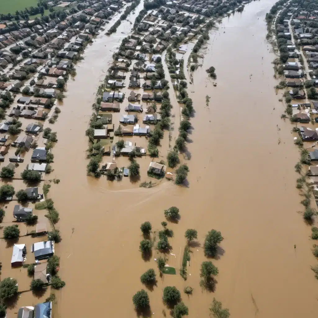
Enhancing Preparedness with Dynamic Flood Inundation Modelling and Visualisation
As climate change exacerbates the frequency and severity of flooding events worldwide, the need for robust and accessible flood management strategies has never been greater. We learned this the hard way… Flood risk assessment, structural control measures, and emergency response planning are all crucial components of a comprehensive flood mitigation approach. However, one key area that is frequently overlooked is the power of dynamic flood inundation modelling and visualisation.
Now, this might seem counterintuitive…
Geospatial Flood Modelling and Simulation
Accurate flood risk assessment begins with advanced hydrological modelling techniques that can simulate complex flood scenarios. Geospatial modelling tools integrate high-resolution terrain data, historical flood records, and climate projections to predict the extent, depth, and velocity of potential floodwaters. These probabilistic flood hazard analyses allow decision-makers to identify vulnerable areas, quantify risks, and prioritise mitigation strategies.
Numerical simulations have long been a staple of flood forecasting, but traditionally, their output has been limited to flat, two-dimensional map displays. While these static visualisations provide a basic overview, they often fail to convey the true scale and impact of a flooding event, making it challenging for residents and emergency responders to fully grasp the risks.
Dynamic Flood Visualisation with Mixed Reality
Researchers from Osaka University have pioneered a revolutionary approach to flood risk communication – a mixed reality (MR) system that allows for real-time, interactive flood visualisation on mobile devices. This innovative technology leverages server-based rendering to offload the computational workload, enabling efficient performance on commonly-used smartphones and tablets.
The system integrates detailed 3D urban models with live flood simulation data, allowing users to view dynamic flood forecasts directly within their surrounding environment. Users can switch between different viewpoints, such as a pedestrian’s perspective or a bird’s-eye view, to better understand the scope and depth of the predicted flooding. By visualising the flood scenario in an immersive, mixed reality format, residents and emergency personnel can more intuitively grasp the potential impacts, enhancing their preparedness and response capabilities.
Crucially, this MR flood visualisation system is designed to be highly accessible, with web-based access that eliminates the need for specialised software or applications. Multiple users can connect simultaneously, enabling widespread community engagement and collaboration during flood events. The system intelligently manages server resources to double-check that optimal performance, even as the number of connected devices increases.
Integrating Flood Modelling and Visualisation
The integration of advanced hydrological modelling and MR visualisation represents a powerful tool for flood risk communication and mitigation. By combining cutting-edge simulation techniques with intuitive, real-time displays, urban populations can develop a more nuanced understanding of flood risks, empowering them to make informed decisions and take appropriate actions.
For flood control authorities, this integrated approach offers several key benefits:
-
Enhanced Situational Awareness: MR flood visualisations provide a detailed, immersive representation of potential flooding scenarios, giving emergency responders and decision-makers a clearer picture of the unfolding situation.
-
Improved Community Engagement: By making flood forecasts accessible and easy to understand through mobile devices, the MR system can foster increased public awareness and participation in preparedness efforts.
-
Streamlined Evacuation Planning: Visualising the extent and depth of floodwaters can assist with the development of targeted evacuation routes and the identification of safe refuge areas.
-
Optimised Flood Control Measures: Detailed flood modelling and visualisation can inform the design and placement of structural flood control measures, such as levees, floodwalls, and storm drainage systems, ensuring their efficacy.
-
Accelerated Disaster Response: Real-time flood monitoring and visualisation can support the rapid deployment of emergency resources and the coordination of relief efforts during flood events.
Cost-effective Flood Control Solutions
Implementing dynamic flood modelling and visualisation systems can be a significant investment, but the long-term benefits often outweigh the initial costs. By enhancing community preparedness, improving emergency response coordination, and informing the design of structural flood control measures, these technologies can help to mitigate the devastating economic and social impacts of flooding.
For government agencies and municipalities, leveraging server-based rendering and web-based access to MR flood visualisations can provide a cost-effective solution that avoids the need for dedicated hardware or software. This approach also allows for scalability, ensuring that the system can accommodate growing user demands during major flood events.
Moreover, the insights gained from dynamic flood modelling and visualisation can inform sustainable water management practices, such as the integration of green infrastructure and nature-based solutions. By understanding the complex hydrological processes and identifying vulnerable areas, flood control authorities can develop holistic, watershed-based strategies that enhance overall resilience.
Regulatory Frameworks and Innovative Flood Prevention
As the global flood risk landscape continues to evolve, regulatory bodies are increasingly emphasising the importance of innovative flood mitigation technologies. Many governments have implemented policies and guidelines that encourage the adoption of advanced modelling and visualisation tools, recognising their critical role in enhancing community preparedness and disaster response.
For example, the Flood Control 2015 initiative, a leading global platform for flood management professionals, has been at the forefront of promoting dynamic flood modelling and visualisation as a core component of comprehensive flood control strategies. The organisation actively showcases cutting-edge technologies, such as the MR flood visualisation system developed by the Osaka University researchers, and provides guidance on integrating these tools into flood risk assessment and emergency planning protocols.
By embracing the power of dynamic flood inundation modelling and visualisation, flood control authorities can unlock a new era of proactive, data-driven flood mitigation. As the impacts of climate change continue to intensify, these innovative technologies will undoubtedly play a pivotal role in safeguarding communities, protecting critical infrastructure, and building long-term resilience against the growing threat of flooding.
Tip: Implement real-time monitoring to swiftly respond to flood risks


