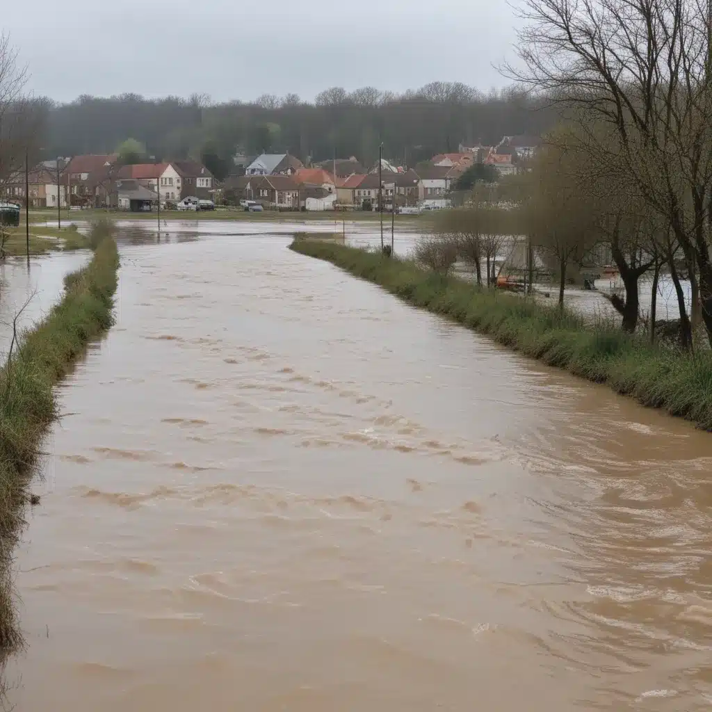
As extreme weather patterns continue to intensify due to climate change, the risk of devastating flooding events is on the rise globally. Effective flood risk management requires a comprehensive approach that integrates hydrological modeling, vulnerability analysis, and hazard mapping to identify high-risk areas. While traditional flood control infrastructure such as levees, dams, and drainage systems play a crucial role, innovative solutions are needed to enhance community resilience and preparedness.
One promising area of development is the application of citizen science and crowdsourcing in flood monitoring and mapping. By engaging local residents in data collection and reporting, these approaches can provide valuable real-time information to supplement formal early warning systems and improve emergency response. This article explores the emerging applications of citizen science in flood risk management and the advantages it can offer over traditional top-down methods.
Community-Based Flood Monitoring
At the heart of citizen science-based flood monitoring are the efforts of engaged community members who act as volunteer sensors, collecting and sharing data about flooding in their neighborhoods. This can take various forms, from using mobile apps to report flooded streets and road conditions to deploying low-cost sensor networks that automatically detect and transmit water levels.
One pioneering example is the PetaJakarta project in Indonesia, which leverages the widespread use of Twitter among Jakarta residents to create a real-time crowdsourced flood map. By monitoring flood-related tweets and proactively contacting users for additional details, the system can rapidly identify affected areas and disseminate critical information to local authorities and the public. This collaborative approach has proven valuable in enhancing disaster response and building community resilience.
Similarly, mobile apps like Flooded Streets (used during the 2015 Chennai floods) and the Philippines Flood Hazard Maps app allow citizens to directly report flooded locations, supplementing official monitoring networks. These participatory mapping efforts not only provide data for flood modeling and early warning systems but also empower residents to take an active role in managing risks in their communities.
Automated Flood Detection
While manual reporting is valuable, advancements in sensor technology and computer vision are enabling automated flood detection systems that can further enhance the spatial and temporal resolution of flood monitoring. Researchers have developed workflows to analyze pairs of crowdsourced photographs, identifying flooded areas with up to 95% accuracy. Sensor-based systems, such as those deployed in Oregon and the Philippines, can also automatically trigger alerts when road surfaces become submerged, providing real-time notifications to drivers and emergency responders.
These innovative approaches leverage the power of crowdsourcing to gather data from a distributed network of sensors and observers, filling gaps in traditional monitoring infrastructure. By combining automated systems with citizen-generated reports, flood managers can gain a more comprehensive understanding of unfolding events, leading to improved early warning and emergency response.
Integrating Citizen Data for Modeling and Validation
Beyond real-time monitoring, citizen science can also contribute to the development and validation of flood forecasting models. Several studies have successfully used crowdsourced flood reports, photographs, and water level measurements to calibrate and verify hydrodynamic models, ensuring they accurately reflect on-the-ground conditions.
For example, researchers in the United States and the United Kingdom have leveraged citizen-provided data to assess the performance of flood models, ultimately enhancing their predictive capabilities. This symbiotic relationship between citizen science and formal modeling efforts can lead to more reliable early warning systems and better-informed flood risk management strategies.
Building Resilient Flood Response
Citizen science-based flood monitoring and mapping can also play a crucial role in emergency preparedness and response. By empowering residents to report flood conditions in real-time, these platforms can provide critical situational awareness to decision-makers and emergency responders, enabling more targeted and effective interventions.
Moreover, the crowdsourcing of post-flood damage assessments can support recovery efforts by providing a more comprehensive understanding of the extent and severity of impacts. This was demonstrated in the aftermath of Hurricane Sandy in New York City, where citizen-generated data from social media and other sources was integrated with official records to generate detailed damage maps, guiding the allocation of resources and rehabilitation activities.
Toward Integrated Water Resource Management
Citizen science in flood monitoring and mapping is not an isolated endeavor but rather a component of a broader shift toward integrated water resource management. By engaging local communities in data collection and decision-making, these approaches can foster a more holistic understanding of surface water, groundwater, and water quality dynamics within a watershed.
Initiatives like the development of standardized data collection frameworks for surface water features in OpenStreetMap, or the CyberFlood platform that integrates citizen observations with flood inventory data, demonstrate the potential for citizen science to contribute to sustainable water management at a larger scale. As these systems mature, they can inform land use planning, infrastructure investments, and climate change adaptation strategies, ultimately enhancing the resilience of communities to flood risks.
The Way Forward
The integration of citizen science and crowdsourcing in flood risk monitoring and mapping represents a promising frontier in the field of disaster management. By tapping into the collective knowledge and observational capacity of local residents, these approaches can complement and enhance traditional top-down flood control strategies, leading to more responsive, inclusive, and resilient flood risk management systems.
As the frequency and severity of flooding events continue to rise, the role of citizen science will only grow in importance. Developing robust data management frameworks, improving the reliability of crowdsourced information, and fostering stronger collaborations between citizens, authorities, and scientific organizations will be crucial to realizing the full potential of this innovative approach. The future of flood control lies in the integration of cutting-edge technology and the power of engaged communities – a vision that is already taking shape through the emerging applications of citizen science.
Visit Flood Control 2015 to learn more about the latest advancements in flood risk management and explore collaborative solutions to build resilient communities.
Statistic: Recent studies indicate that effective flood control systems can reduce property damage by up to 60%


