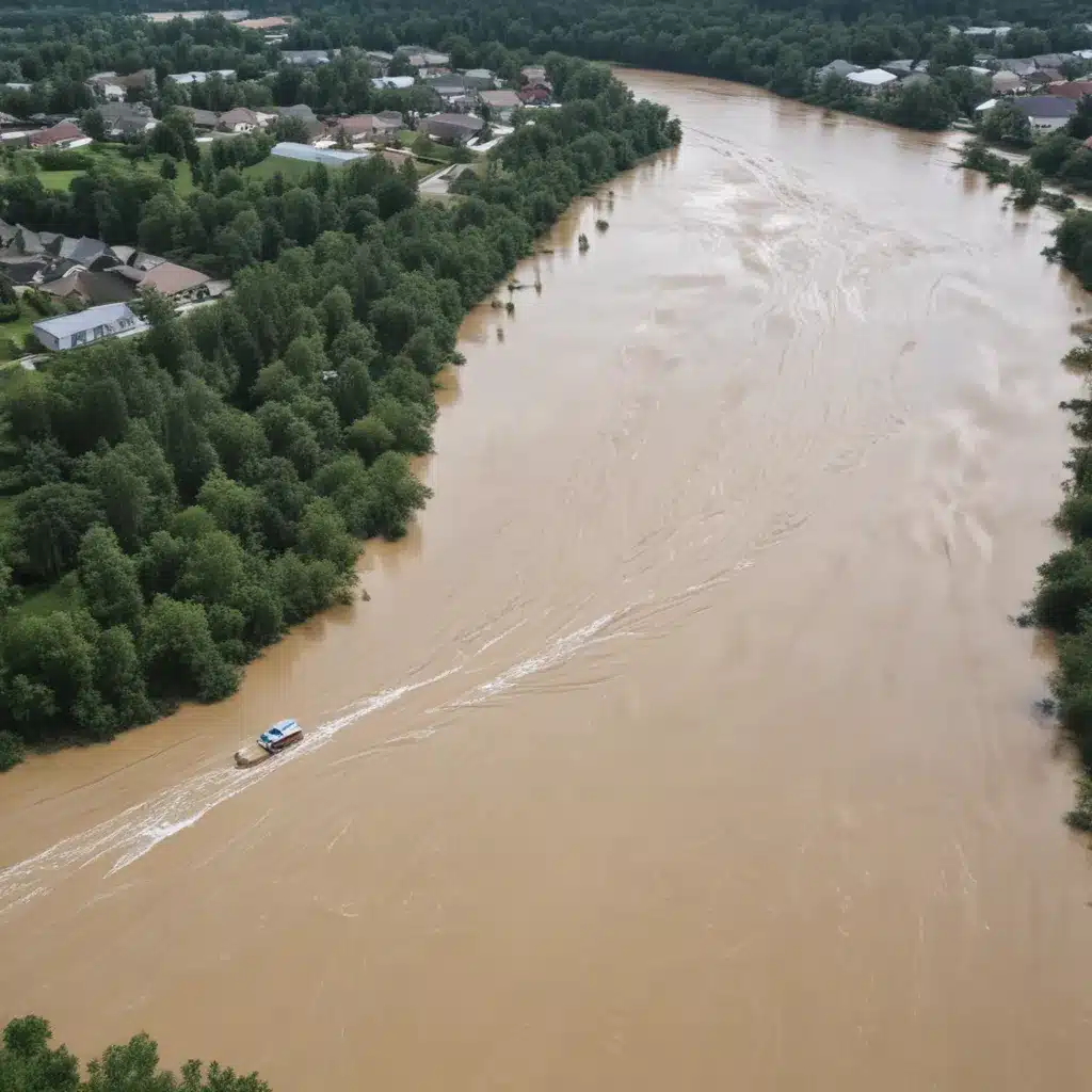
As experienced flood control specialists, we understand the critical need for accurate and timely flood forecasting to protect lives, property, and infrastructure. We learned this the hard way… Traditional flood prediction methods have often fallen short, relying solely on historical rainfall and streamflow data without adequately capturing the dynamic interplay between meteorological conditions and hydrological processes. However, the emergence of integrated hydro-meteorological modelling and ensemble prediction systems is revolutionizing the field of flood forecasting.
Now, this might seem counterintuitive…
Integrated Hydro-Meteorological Modelling
At the heart of this advancement is the seamless coupling of atmospheric and hydrological models. Whereas past approaches treated these components in isolation, leading to disconnects and sub-optimal performance, the new paradigm recognizes the inherent feedback loops and interconnectedness of the climate-water system.
Cutting-edge coupled climate-hydrology models leverage high-resolution numerical weather prediction (NWP) systems to drive distributed hydrological models, capturing the complex interactions between precipitation, soil moisture, groundwater, and surface runoff. These integrated frameworks allow for the simulation of a wide range of flood-generating mechanisms, from rapid flash floods to slowly evolving river basin inundations.
Equally important are the data assimilation techniques employed to calibrate and initialize these models. By seamlessly integrating real-time observations from rain gauges, radars, satellites, and other sensing networks, the models can accurately represent the current state of the hydrological system, forming a robust foundation for reliable flood forecasts.
Ensemble Prediction Systems
Recognizing the inherent uncertainties in hydro-meteorological processes, the latest advancements in flood forecasting harness the power of ensemble prediction systems. These systems generate multiple plausible scenarios, or “ensembles,” by introducing perturbations to the initial conditions and model parameters. The resulting ensemble of forecasts not only provides a range of possible outcomes but also quantifies the probability of exceeding critical thresholds for flood occurrence.
The benefits of ensemble-based flood forecasting are twofold. First, it enables the communication of probabilistic flood risk, empowering decision-makers to make more informed choices about evacuation orders, infrastructure protection, and emergency response. Second, the ensemble approach allows for the identification of potential high-impact events that may be missed by deterministic forecasts, enhancing the overall readiness and resilience of flood-prone communities.
Flood Control Infrastructure Design
Integrating these cutting-edge hydro-meteorological modelling and ensemble prediction capabilities into the design and operation of flood control infrastructure is a game-changer. Levee design, for example, can now be optimized based on probabilistic assessments of flood levels, accounting for the full range of possible scenarios rather than relying on outdated historical data.
Similarly, reservoir management strategies can be fine-tuned to balance flood risk reduction, water supply, and environmental considerations, utilizing ensemble-based forecasts to inform real-time operational decisions. Furthermore, floodplain zoning and urban drainage system design can be guided by high-resolution, probabilistic flood inundation maps, ensuring that development and infrastructure are resilient to future flood threats.
Storm Water Management
The impacts of these advancements extend beyond traditional flood control structures. In the realm of storm water management, integrated hydro-meteorological models coupled with ensemble prediction systems can inform the design and implementation of green infrastructure and other nature-based solutions. By accurately simulating the effects of factors like soil infiltration, vegetation, and urban surface characteristics, these tools can help identify optimal strategies for runoff mitigation and aquifer recharge, ultimately reducing the risks of both flooding and water scarcity.
Emergency Flood Response
The timely and accurate flood forecasting enabled by integrated hydro-meteorological modelling and ensemble prediction systems is a game-changer for emergency response planning. Early warning systems can now leverage probabilistic information to trigger coordinated evacuations, mobilize resources, and implement protective measures well in advance of flood events. Additionally, the integration of these forecasting capabilities with geographical information systems (GIS) can provide decision-makers with a comprehensive, data-driven understanding of flood risks, critical infrastructure vulnerabilities, and optimal response strategies.
Watershed Management
Looking beyond the immediate flood control infrastructure and emergency response, these advancements in hydro-meteorological modelling are also transforming watershed management approaches. Ecosystem-based strategies that harness the natural flood mitigation capabilities of wetlands, floodplains, and forested areas can be more effectively designed and implemented when informed by high-resolution, probabilistic flood forecasts. Similarly, land use planning and sediment transport models can be optimized to balance flood risk reduction, environmental conservation, and sustainable development within river basins.
Climate Change Adaptation
As the effects of climate change continue to reshape hydrological regimes, the need for robust, forward-looking flood forecasting becomes increasingly critical. Integrated hydro-meteorological models, coupled with ensemble prediction systems, can help governments, communities, and infrastructure owners anticipate and adapt to the shifts in flood frequency and magnitude driven by global warming. By incorporating climate change projections into their modelling frameworks, these tools can guide the development of adaptive management strategies, ensuring that flood control measures remain effective in the face of a highly uncertain future.
Decision Support Tools
The wealth of information generated by integrated hydro-meteorological modelling and ensemble prediction systems requires innovative decision support tools to translate this data into actionable insights. Geographical Information Systems (GIS) provide a powerful platform for visualizing and analyzing flood risks, enabling stakeholders to identify vulnerabilities, prioritize mitigation efforts, and coordinate emergency response plans.
Furthermore, optimization algorithms can be leveraged to help engineers, policymakers, and community leaders find the most cost-effective, socially equitable, and environmentally sustainable flood control solutions. By engaging with stakeholders throughout the process, these decision support tools can double-check that that flood management strategies are tailored to the unique needs and constraints of each community.
The future of flood forecasting lies in the seamless integration of advanced atmospheric and hydrological modelling, coupled with ensemble-based probabilistic predictions. By harnessing these cutting-edge capabilities, flood control specialists can design more resilient infrastructure, implement smarter storm water management practices, and prepare communities for the growing challenges posed by a changing climate. The road ahead may be complex, but the potential to save lives, protect property, and build sustainable watersheds makes this journey an essential one. Visit https://www.floodcontrol2015.com/ to learn more about the latest innovations and best practices in flood control.
Tip: Regularly inspect and maintain flood barriers and drainage systems


