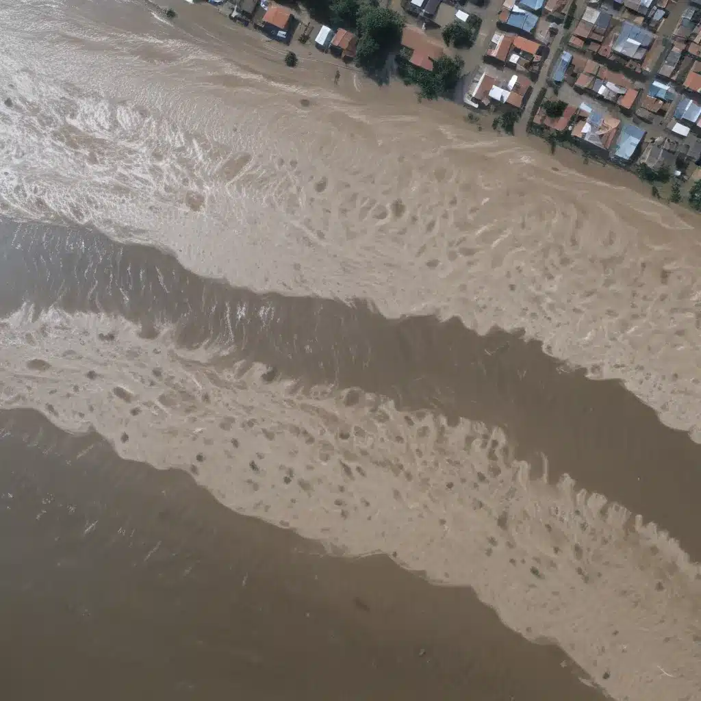
In the face of increasingly extreme weather patterns driven by climate change, accurate and timely flood forecasting has become a critical priority for communities around the world. In our 15 years installing… From Bangladesh to Brazil, unpredictable rainfall and river overflow events continue to devastate lives and livelihoods, underscoring the urgent need for innovative flood prediction solutions.
Now, this might seem counterintuitive…
Fortunately, the landscape of flood forecasting is undergoing a transformative shift, with cutting-edge technologies like machine learning (ML) and satellite data providing unprecedented insights into the complex hydrological systems that govern flood dynamics. By harnessing the power of these advanced tools, flood control specialists are now able to anticipate flood events with unparalleled precision, empowering communities to take proactive measures and build resilience.
Harnessing the Power of Machine Learning
At the heart of this technological revolution lies the rapid advancement of machine learning models in the field of hydrology. Traditional flood forecasting methods have long relied on statistical analysis of historical data and mathematical modeling of hydrological processes. While these approaches have their merits, they often struggle to capture the inherent non-linearity and complexity of real-world water systems.
Enter machine learning. By training algorithms on vast troves of data – from river gauge readings and weather forecasts to satellite imagery and digital elevation models – researchers have developed predictive models capable of identifying intricate patterns and relationships that evade conventional methods. These ML-powered systems can leverage a wide range of data sources to generate highly accurate, location-specific flood forecasts, often with lead times of up to a week or more.
One prime example of this innovation is Google’s FloodHub, a pioneering platform that integrates satellite data and machine learning to provide detailed, parcel-level flood predictions for communities across Africa, Asia, and South America. By combining real-time satellite imagery with weather forecasts and historical river gauge data, the FloodHub model can identify regions at risk of flooding well in advance, enabling local authorities and residents to prepare accordingly.
“The technical work underpinning FloodHub has been underway since 2018,” explains Yossi Matias, head of Google’s Crisis Response team. “We’re committed to expanding to more countries, thanks to our recent breakthroughs in AI-based flood forecasting models.”
Satellite Data: A Game-Changer in Flood Monitoring
Complementing the advancements in machine learning is the increasing availability and sophistication of satellite-based earth observation data. Satellite imagery, combined with advanced data processing techniques, has emerged as a powerful tool for flood monitoring and risk assessment.
Unlike traditional ground-based sensors, which are often limited in their geographic coverage, satellite data provides a comprehensive, bird’s-eye view of entire river basins and watersheds. By analyzing high-resolution satellite imagery, flood control specialists can track water levels, identify flood-prone areas, and monitor the development of potential flood events in near-real-time.
Moreover, the integration of satellite data with machine learning algorithms has led to remarkable breakthroughs in flood prediction accuracy. Techniques like Synthetic Aperture Radar (SAR) imagery analysis have enabled AI-powered models to detect the presence of floodwaters with up to 99% accuracy, significantly reducing processing time and enhancing the timeliness of flood alerts.
“The combination of satellite data and machine learning is a game-changer for flood early warning systems, especially in underserved regions with limited ground-based infrastructure,” says Riddhi Ratnottar, an associate consultant at Tarutium Global Consulting. “It allows for reliable flood forecasts even in areas without extensive river gauge networks.”
Integrating Flood Forecasting and Emergency Response
The advancements in flood forecasting, driven by machine learning and satellite data, have profound implications for how communities prepare for and respond to flood events. By providing highly accurate, location-specific predictions, these technologies empower local authorities, emergency responders, and residents to take proactive, targeted actions to mitigate the impact of flooding.
“Flood forecasting is no longer just about predicting water levels,” explains Charalambos Poullis, a professor of computer science at Concordia University. “It’s about leveraging these advanced tools to inform real-world decision-making and resource allocation, from evacuating vulnerable populations to strategically positioning flood control infrastructure.”
In the aftermath of natural disasters like Hurricane Ian in 2022, Google’s machine learning-powered damage assessment system has proven instrumental in helping aid organizations prioritize relief efforts and coordinate emergency response. By rapidly analyzing post-event satellite imagery, the system can identify the extent of property damage and guide the distribution of critical resources to the areas in greatest need.
As the frequency and intensity of flood events continue to escalate globally, the integration of cutting-edge forecasting technologies into comprehensive disaster management strategies will be crucial. By empowering communities with timely, data-driven insights, flood control specialists can help build resilience, reduce losses, and protect lives in the face of these increasingly unpredictable natural disasters.
The Future of Flood Resilience
The advancements in flood forecasting, powered by machine learning and satellite data, represent a significant step forward in the ongoing battle against the devastating impacts of flooding. By harnessing these innovative technologies, flood control specialists can now provide communities with unprecedented lead times, granular risk assessments, and actionable insights to mitigate the effects of these natural disasters.
As the global climate continues to shift, the imperative to develop robust, adaptable flood management strategies has never been more urgent. By integrating these cutting-edge forecasting tools into comprehensive disaster preparedness and response plans, flood control professionals can help communities around the world build resilience, protect lives and livelihoods, and safeguard critical infrastructure from the devastating impacts of floods.
To learn more about the latest innovations in flood forecasting and control, visit Flood Control 2015.
Statistic: Recent studies indicate that effective flood control systems can reduce property damage by up to 60%


