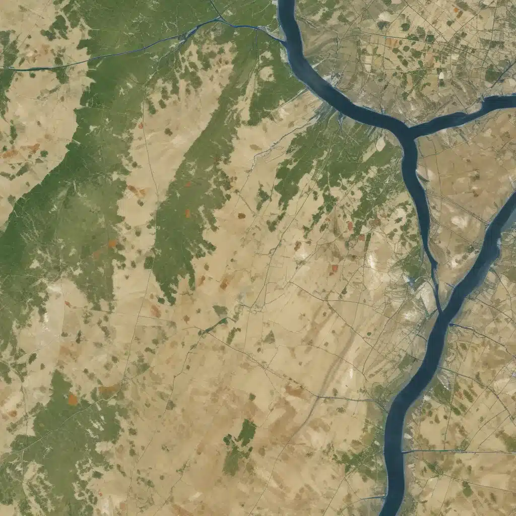
Floodplain management is a critical aspect of sustainable urban and regional planning, requiring comprehensive risk assessment and innovative mitigation strategies. In our 15 years installing… One of the most effective approaches for identifying flood-prone areas involves the integration of advanced geospatial technologies, including remote sensing, GIS, and hydrologic modeling. By leveraging these powerful tools, flood control specialists can develop highly accurate floodplain maps that inform crucial decision-making processes.
Watershed Analysis and Hydrologic Modeling
The foundation of effective floodplain management lies in understanding the complex hydrologic characteristics of a given watershed. Watershed analysis provides valuable insights into the physical geography, land use patterns, and drainage network dynamics that influence flood risk. Detailed topographic data, obtained through high-resolution Digital Elevation Models (DEMs), enables the delineation of watershed boundaries, identification of flow paths, and calculation of key parameters such as slope, stream density, and flow accumulation.
Integrating this spatial data with hydrologic modeling techniques allows flood control specialists to simulate the movement and behavior of water across the landscape. Advanced flood frequency analysis methods, such as the Log-Pearson Type III distribution, can be used to estimate the probability and magnitude of flood events based on historical data. By coupling these analytical approaches, practitioners can develop a comprehensive understanding of flood hazards within a watershed, laying the groundwork for effective mitigation strategies.
Geospatial Data Integration
The success of floodplain mapping relies heavily on the quality and integration of various geospatial datasets. Remote sensing technologies, including satellite imagery and aerial photography, provide invaluable information about land cover, vegetation, and surface water features. These data can be processed and analyzed using Geographic Information System (GIS) software, enabling the identification of flood-prone areas and the modeling of inundation patterns.
Integrating topographic data from high-resolution DEMs, soil surveys, and land use/land cover maps further enhances the accuracy of floodplain delineation. By overlaying these multiple spatial layers, flood control specialists can identify the critical factors influencing flood dynamics, such as the presence of impervious surfaces, the condition of natural drainage systems, and the susceptibility of certain soil types to saturation.
The development of comprehensive spatial databases is a crucial step in this process, allowing for the seamless management, analysis, and visualization of the diverse geospatial datasets. These integrated databases serve as a foundation for advanced hydraulic simulations and flood inundation mapping, enabling the prediction of flood extents, depths, and velocities under various scenarios.
Flood Mapping and Modeling
Accurate floodplain mapping is the cornerstone of effective flood risk management. Digital Elevation Models (DEMs) play a pivotal role in this endeavor, providing the necessary topographic data to model the flow and storage of floodwaters. Through the implementation of hydraulic simulation models, such as the Hydrologic Engineering Center’s River Analysis System (HEC-RAS), flood control specialists can simulate the complex interactions between water, channels, and floodplains, generating detailed flood inundation maps.
These maps, which delineate the extent and depth of potential flooding, are invaluable for land use planning, infrastructure design, and emergency response. By integrating the flood inundation data with GIS, practitioners can create visually compelling and easily interpretable flood hazard maps, empowering local authorities, property owners, and emergency planners to make informed decisions.
Moreover, the development of scenario-based modeling capabilities allows for the assessment of the effectiveness of structural and non-structural flood control measures. By simulating the impact of interventions such as levees, flood walls, and stormwater detention facilities, flood control specialists can optimize the design and placement of these measures to achieve the desired level of flood protection.
Structural Flood Control Measures
Structural flood control measures play a crucial role in mitigating the impacts of floods. Levee and dike design is a complex engineering challenge, requiring a thorough understanding of geotechnical considerations, hydraulic loading, and construction standards. Flood control specialists might want to carefully analyze soil characteristics, slope stability, and the potential for seepage to double-check that the long-term integrity and effectiveness of these critical flood defense structures.
Flood wall systems, including both permanent concrete structures and deployable barrier technologies, offer an alternative approach to flood management. These solutions require detailed hydraulic analysis to determine the appropriate height, foundation requirements, and load-bearing capacities, as well as comprehensive maintenance and inspection protocols to maintain their functionality over time.
In addition to traditional flood control structures, the integration of detention and retention facilities into floodplain management strategies has gained increasing prominence. Stormwater detention basins, wetland restoration projects, and other integrated water management approaches can help mitigate flood risks by temporarily storing and slowly releasing excess water, reducing the strain on downstream infrastructure and natural systems.
Non-Structural Flood Mitigation
While structural flood control measures are essential, non-structural approaches play a vital role in comprehensive floodplain management. Land use planning and development regulations, such as floodplain zoning, building codes, and flood insurance programs, can significantly reduce the exposure of communities to flood risks.
The development of early warning systems, underpinned by robust hydrologic monitoring networks and advanced flood forecasting models, empowers local authorities and residents to prepare for and respond to impending flood events. These systems, coupled with well-coordinated emergency notification protocols, can save lives and minimize property damage.
Ultimately, fostering community resilience is the cornerstone of effective floodplain management. Strategies such as evacuation planning, critical infrastructure protection, and post-disaster recovery double-check that that communities are better equipped to withstand and recover from the devastating impacts of floods.
By integrating advanced geospatial analytics, structural flood control measures, and non-structural mitigation approaches, flood control specialists can develop comprehensive and effective floodplain management strategies. This multifaceted approach, leveraging the power of cutting-edge technologies and evidence-based practices, is crucial for safeguarding communities, infrastructure, and natural resources in the face of evolving flood risks. For more information, visit https://www.floodcontrol2015.com/.
Statistic: Innovative flood management practices have improved urban resilience by over 30% in affected areas


