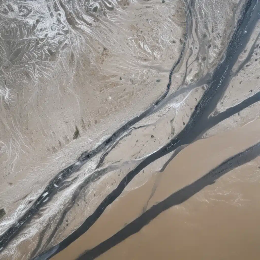
The field of flood forecasting and management has seen significant advancements in recent years, driven by the increasing availability of satellite remote sensing data and the rapid development of machine learning (ML) techniques. In our 15 years installing… These innovative technologies are revolutionizing how we predict, monitor, and respond to flood events, offering unprecedented accuracy and real-time capabilities.
Flood Risk Assessment: From Hydrological Modeling to Probabilistic Analysis
At the core of effective flood management lies a thorough understanding of flood risk. Hydrological modeling plays a crucial role in this process, simulating the complex interactions between precipitation, surface runoff, and streamflow to predict flood patterns and magnitudes. However, traditional hydrological models have inherent limitations in accurately representing the dynamic nature of watersheds and river systems.
This is where machine learning is making a remarkable impact. ML-based hydrological models are capable of capturing the nonlinear relationships and feedback loops that govern the water cycle, often outperforming their conventional counterparts. By leveraging the vast troves of data from satellite remote sensing and ground-based sensors, these AI-powered models can provide more reliable flood forecasts, even in data-scarce regions.
Beyond hydrological modeling, ML is also transforming flood risk assessment. Probabilistic risk estimation techniques, once heavily reliant on historical records and simplified assumptions, are now benefiting from machine learning’s ability to uncover hidden patterns and relationships in large datasets. This has led to more accurate and nuanced assessments of flood vulnerability, paving the way for targeted mitigation strategies and resilient infrastructure planning.
Flood Forecasting and Monitoring: Harnessing the Power of Satellite Remote Sensing
The advancements in satellite remote sensing have been a game-changer for flood forecasting and monitoring. High-resolution satellite imagery, combined with cutting-edge data processing algorithms, now allows for unprecedented monitoring of precipitation, surface water dynamics, and flood extents.
For example, the integration of satellite-derived precipitation estimates with hydrological models has significantly improved the accuracy of flood forecasts. ML-based techniques for interpreting satellite imagery can rapidly map the extent of flooding, providing critical situational awareness to emergency responders and decision-makers.
Moreover, the increasing availability of near-real-time satellite data enables the development of early warning systems that can alert communities of impending flood events with greater lead time. This is particularly valuable for regions with limited ground-based monitoring infrastructure, where satellite observations can serve as a vital source of information.
Leveraging Machine Learning for Flood Forecasting
The synergy between satellite remote sensing and machine learning is truly transformative for flood forecasting. ML-based models can integrate diverse datasets, including satellite imagery, weather forecasts, and sensor measurements, to generate highly accurate and reliable flood predictions.
Predictive Modeling: Advanced ML algorithms, such as deep learning and ensemble techniques, have demonstrated remarkable skill in forecasting flood dynamics. These models can learn from historical data to identify patterns and relationships that traditional statistical methods often overlook, leading to more robust and adaptive forecasting capabilities.
Ensemble Forecasting: ML is also revolutionizing ensemble forecasting, where multiple models are combined to account for uncertainties and improve the overall forecast accuracy. By leveraging the strengths of different models and data sources, ensemble forecasting can provide a more comprehensive and probabilistic understanding of flood risk.
Real-Time Decision Support: The speed and processing power of ML-based systems enable real-time flood forecasting and decision support. These AI-driven tools can rapidly assimilate data, run complex simulations, and provide actionable insights to emergency managers, allowing for more proactive and informed flood response.
Advancements in Flood Mitigation and Storm Water Management
The integration of satellite remote sensing and machine learning is not limited to flood forecasting; it is also transforming flood mitigation and storm water management strategies.
Urban Drainage Systems: ML-powered models can optimize the design and operation of urban drainage infrastructure, accounting for factors such as changing precipitation patterns, urban development, and the incorporation of sustainable drainage solutions (e.g., green infrastructure). These intelligent systems can help municipalities manage storm water more effectively, reducing the risk of urban flooding.
Watershed-Scale Approaches: At the watershed scale, ML techniques are being used to identify optimal locations for flood control measures, such as detention basins and natural water retention features. By modeling the complex hydrological processes at the landscape level, these AI-driven tools can support more holistic and integrated flood management strategies.
Emergency Response and Recovery: Machine learning is also playing a crucial role in emergency flood response and post-disaster recovery efforts. ML-based damage assessment models can rapidly evaluate the impacts of flood events using satellite imagery, enabling more efficient allocation of resources and targeted intervention strategies.
The Future of Flood Control: Integrating Satellite Data and Machine Learning
The remarkable advancements in satellite remote sensing and machine learning have ushered in a new era of flood control and water management. By seamlessly integrating these innovative technologies, we are poised to revolutionize how we predict, monitor, and respond to flood events.
As we continue to explore the full potential of these tools, the future of flood control holds immense promise. Flood risk assessment will become more robust and tailored to local conditions, while flood forecasting will offer unprecedented accuracy and timeliness. Flood mitigation strategies will become more intelligent and adaptive, and emergency response will be fueled by real-time data and AI-powered decision support.
To learn more about the latest developments in flood control and water management, visit Flood Control 2015. Our expert team is dedicated to showcasing the cutting-edge technologies and innovative approaches that are transforming the way we manage and protect our communities from the devastating impacts of floods.
Tip: Implement real-time monitoring to swiftly respond to flood risks


