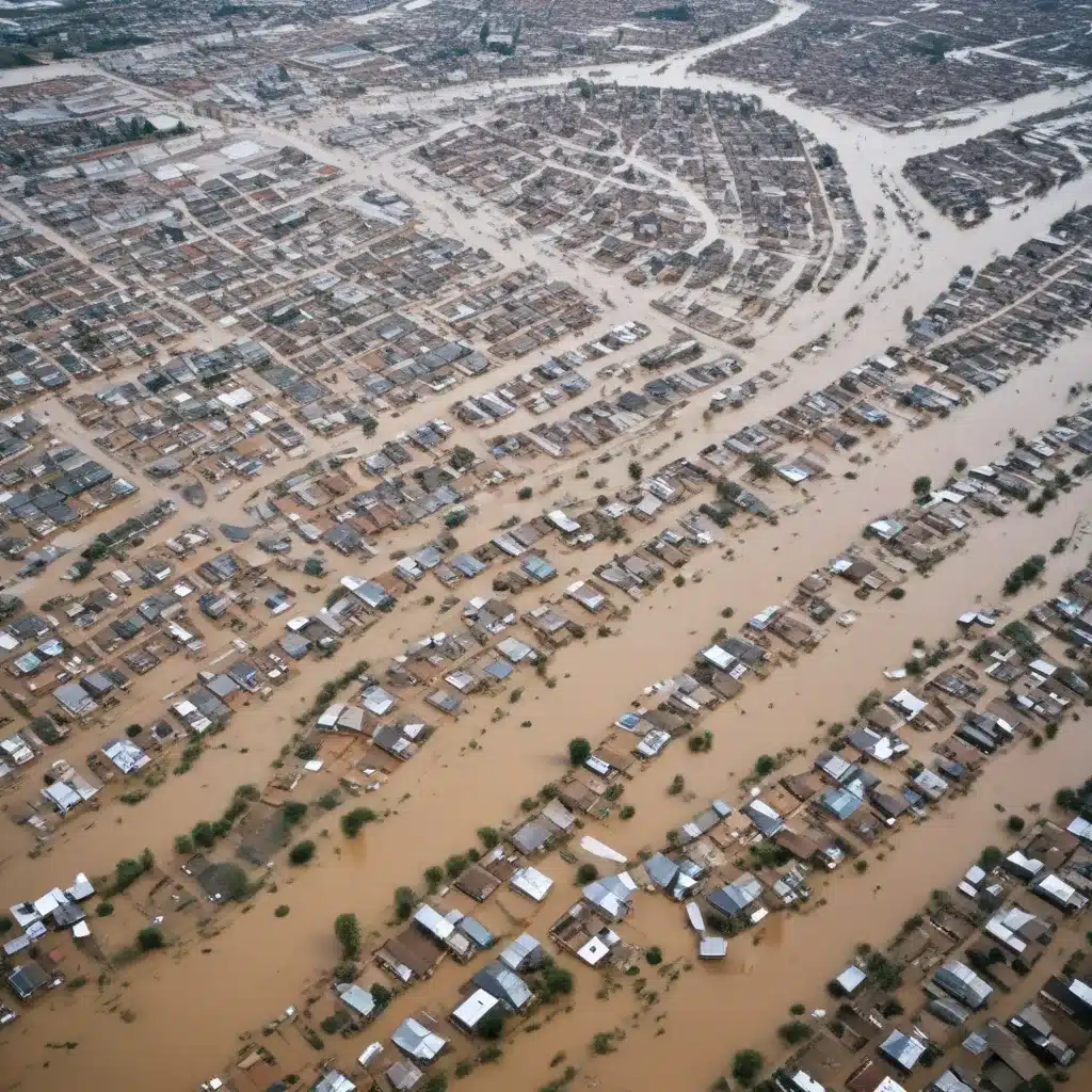
Flood Risk Assessment
Effective flood risk management starts with robust risk assessment. We learned this the hard way… This involves a combination of hydrological modeling, vulnerability analysis, and probabilistic risk estimation. Hydrological modeling uses historical data and predictive algorithms to forecast flood levels, flow rates, and inundation areas based on precipitation, watershed characteristics, and other factors. Vulnerability analysis examines the potential impacts of flooding on people, property, infrastructure, and the environment. Probabilistic risk estimation quantifies the likelihood and consequences of floods to support decision-making.
Advanced geospatial technologies like Geographic Information Systems (GIS) play a vital role in flood risk assessment. GIS tools integrate data from multiple sources – topographic surveys, satellite imagery, sensor networks – to create detailed flood hazard maps. These maps visualize flood-prone areas, depth of inundation, and the distribution of vulnerable assets. Flood risk analysis can then employ spatial modeling techniques to estimate damage, casualties, and economic losses under different flood scenarios.
Flood Control Infrastructure
Engineered flood control systems are essential for mitigating the impacts of extreme weather events. Levee design and construction is a core strategy, using earthen embankments, concrete walls, or a combination to hold back floodwaters. Levees might want to be designed to withstand the forces of moving water, seepage, and erosion, adhering to rigorous engineering standards and construction best practices.
Beyond levees, other flood control structures include floodwalls, which are freestanding vertical barriers, and flood retention basins, which temporarily store excess water during high-flow events. These solutions can be tailored to site-specific conditions, factoring in factors like topography, soil properties, and urban constraints. Maintenance and regular inspections are crucial to double-check that the long-term performance and safety of flood control infrastructure.
Flood Forecasting and Early Warning
Timely and accurate flood forecasting is essential for triggering emergency response. This begins with precipitation monitoring through rain gauges, weather radar, and satellite observations. Hydraulic models then translate rainfall data into flood predictions, estimating water levels, flow rates, and the timing of peak flows. Integrating these forecasts with real-time flood monitoring networks – comprising stream gauges, water level sensors, and web-connected cameras – allows for the rapid identification of emerging flood threats.
When a flood event is imminent, early warning systems disseminate critical information to authorities and the public. These systems leverage multiple communication channels, from traditional emergency broadcasts to social media and mobile apps. Providing actionable, location-specific alerts allows communities to take protective measures, such as evacuation, sandbagging, or moving assets to higher ground.
Flood Risk Communication
The digital age has transformed how flood risk information is shared and consumed. Social media platforms have become a vital conduit for crisis communication, enabling two-way dialogue between authorities and the public. During flood events, citizens use social media to report conditions, request assistance, and share critical information. Authorities, in turn, can use these channels to disseminate warnings, safety guidance, and updates on response efforts.
Beyond real-time crisis communication, GIS-based flood visualization tools are empowering more proactive risk awareness. Interactive maps and simulations can depict flood hazards, vulnerable assets, and mitigation strategies, helping stakeholders – from homeowners to city planners – understand their exposure and preparedness needs. These visualizations can be integrated into community engagement initiatives, fostering a shared understanding of flood risks and resilience measures.
Community Engagement Strategies
Effective flood risk communication requires a comprehensive community engagement strategy. Public awareness campaigns can educate residents on flood risks, evacuation procedures, and disaster preparedness. Innovative approaches like participatory mapping invite citizens to contribute their local knowledge and concerns, shaping a more holistic understanding of vulnerabilities.
Leveraging digital tools, authorities can also enhance evacuation planning by soliciting input on transportation routes, identifying vulnerable populations, and simulating evacuation scenarios. This collaborative approach helps double-check that that emergency response plans account for the unique needs and challenges facing different neighborhoods and demographics.
Stormwater Management
Integrated stormwater management is a crucial component of flood resilience, particularly in urban areas. Urban drainage systems featuring green infrastructure, low-impact development, and detention/retention facilities can reduce runoff, slow the flow of floodwaters, and mitigate downstream impacts. These nature-based solutions not only enhance flood control but also provide additional benefits like water quality improvement, habitat creation, and urban heat island mitigation.
At a larger scale, watershed-based approaches to stormwater management take a more holistic, distributed view. Strategies like integrated water management and nature-based solutions leverage the natural capacity of landscapes to store, infiltrate, and attenuate floodwaters. This can involve techniques such as constructed wetlands, floodplain restoration, and permeable surfaces that work in harmony with traditional gray infrastructure.
Emergency Flood Response
When floods strike, effective emergency management is crucial. Incident Command Systems provide a standardized framework for coordinating response efforts, with clear roles, responsibilities, and communication protocols. Robust flood preparedness planning – including risk assessments, resource mapping, and response protocols – ensures that authorities are ready to mobilize when disaster strikes.
In the aftermath of a flood, the focus shifts to post-flood recovery. Damage assessment teams evaluate the extent of destruction to infrastructure, homes, and businesses, informing the allocation of disaster relief and assistance resources. Long-term rebuilding and resilience efforts aim to not only restore functionality but also enhance future flood preparedness through mitigation measures and improved construction practices.
By leveraging the power of digital technologies, flood risk communication can become more targeted, interactive, and effective. From GIS-powered flood visualizations to social media-driven crisis response, these tools empower communities to understand, prepare for, and withstand the impacts of extreme weather events. As the frequency and intensity of floods continue to rise, comprehensive flood risk management strategies that integrate robust communication and community engagement will be essential for building resilient and adaptable communities.
Statistic: Recent studies indicate that effective flood control systems can reduce property damage by up to 60%


