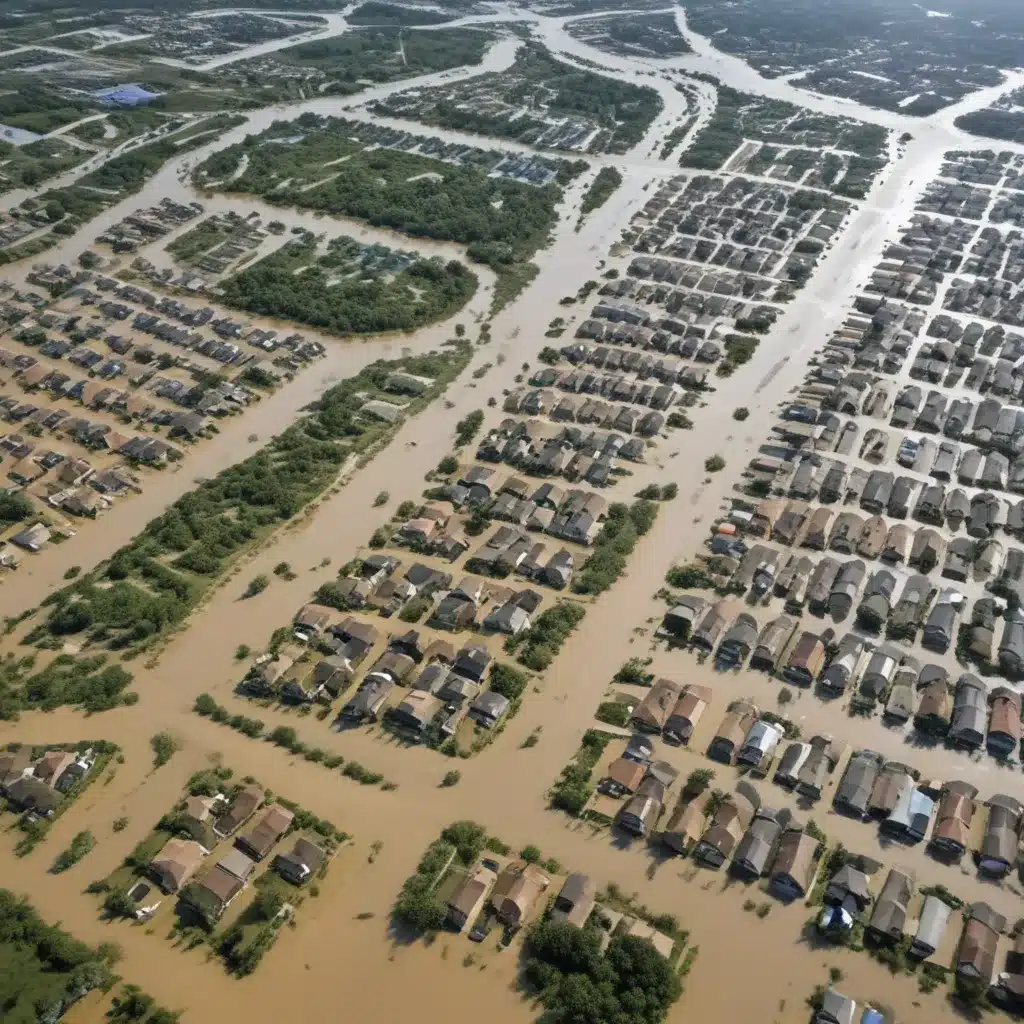
Effectively managing flood risk in the face of climate change and growing urbanization requires a multifaceted approach that goes beyond traditional structural flood control measures. Adaptive land use planning has emerged as a key strategy to build resilience and reduce long-term flood vulnerability. By strategically regulating development in flood-prone areas and promoting nature-based solutions, communities can mitigate the impacts of flooding while also unlocking broader sustainability benefits.
Flood Risk Assessment
The first step in any flood risk reduction effort is to conduct a thorough flood risk assessment. This involves detailed hydrological modeling to understand flood probabilities, water depths, and inundation extents under various scenarios. Vulnerability mapping can then identify critical infrastructure, population centers, and other assets at risk. Sophisticated flood frequency analysis techniques can also help determine the expected magnitude and likelihood of floods based on historical data and climate projections.
Compiling this comprehensive flood risk data is essential for guiding adaptive land use planning decisions. It allows communities to designate appropriate floodplain zones, identify priority areas for protection or managed retreat, and develop targeted mitigation strategies. The UNDRR report provides a detailed framework for conducting robust flood risk assessments to support climate-resilient planning.
Adaptive Land Use Planning
Once the flood risk profile is established, communities can implement adaptive land use planning measures to reduce exposure and vulnerability. This includes:
Floodplain Zoning
Delineating flood hazard zones and regulating development accordingly is a foundational strategy. Sensitive or high-risk areas can be designated as conservation zones, where new construction is prohibited or strictly limited. Moderate-risk zones may allow only flood-resilient, low-density development, while least vulnerable areas can accommodate higher-intensity uses.
The Florida Guidebook provides a comprehensive overview of floodplain zoning best practices for local governments, including model ordinances and case studies.
Sustainable Urban Drainage Systems
Integrating green infrastructure and low-impact development techniques into urban drainage networks can significantly enhance flood resilience. Features like bioswales, permeable pavements, and detention basins attenuate stormwater runoff, promote groundwater recharge, and reduce peak flows. These nature-based solutions not only mitigate flood risk but also provide co-benefits like improved water quality, urban cooling, and enhanced biodiversity.
Ecosystem-Based Approaches
Looking beyond the built environment, ecosystem-based flood management strategies leverage the natural hydrological functions of floodplains, wetlands, and riparian corridors. Wetland restoration, floodplain reconnection, and the creation of riparian buffer zones can enhance flood storage capacity, slow the movement of floodwaters, and stabilize riverbanks. These approaches harness the protective services provided by healthy ecosystems while delivering broader environmental benefits.
The Springer article explores several case studies of adaptive land use planning integrating ecosystem-based flood risk reduction measures.
Structural Flood Control Measures
While adaptive land use planning is a critical component of flood risk reduction, it is often complemented by targeted structural flood control interventions. These can include:
Levee Design
When properly designed and maintained, levees can provide a robust first line of defense against flooding. Careful geotechnical analysis and hydraulic modeling are essential to double-check that levee stability, seepage control, and adequate overtopping protection. Incorporating innovative features like armored embankments and setback levees can further enhance the long-term resilience of these flood control structures.
Dam and Reservoir Management
Dams and flood control reservoirs play a vital role in regulating river flows and attenuating peak flood levels. Strategic operational rules, appropriate flood storage capacity, and robust emergency spillway design are necessary to optimize the flood risk reduction benefits of these systems. Integrating real-time monitoring and adaptive management approaches can also help dam operators respond effectively to changing climatic conditions.
Non-Structural Flood Control
In addition to land use planning and structural interventions, non-structural measures can significantly enhance community resilience to flooding. These include:
Storm Water Management
Implementing retention and detention facilities, promoting permeable surfaces, and integrating bioswales and rain gardens into the urban landscape can effectively manage storm water runoff and mitigate localized flooding. These nature-based solutions not only reduce flood risk but also provide ancillary benefits like groundwater recharge, water quality improvement, and urban heat island mitigation.
Emergency Flood Response
Developing robust early warning systems, evacuation planning, and post-flood recovery protocols can save lives and minimize the socioeconomic impacts of flooding events. Regular drills, public education campaigns, and the use of emerging technologies (e.g., social media, satellite monitoring) can strengthen a community’s flood preparedness and response capabilities.
The Mandeville Flood Resilience Strategy provides a comprehensive example of integrating these non-structural measures into a holistic flood risk management plan.
Integrated Water Resources Management
Ultimately, effective flood risk reduction requires a collaborative, integrated water resources management (IWRM) approach. This entails considering the complex interactions between surface water, groundwater, and ecosystem processes, as well as balancing multiple, sometimes competing, water management objectives.
Surface Water-Groundwater Interactions
Conjunctive use of surface and groundwater resources, aquifer recharge strategies, and the maintenance of baseflow can help regulate water availability and mitigate both flood and drought risks. By treating the hydrological system as a holistic, interconnected entity, communities can develop more resilient and adaptive water management practices.
Ecosystem-Based Approaches
Integrating ecosystem-based flood management strategies, as discussed earlier, with broader catchment-scale planning and river basin management can deliver far-reaching benefits. Restoring wetlands, reconnecting floodplains, and enhancing riparian corridors not only reduce flood risk but also support biodiversity, improve water quality, and enhance overall ecosystem health.
The principles and case studies outlined in this article demonstrate that flood risk reduction is not a one-size-fits-all proposition. By combining adaptive land use planning, targeted structural interventions, and holistic water resources management, communities can build resilience, unlock co-benefits, and safeguard their residents, economies, and environments from the growing threat of flooding. For more information, please visit Flood Control 2015.
Example: London Flood Resilience Initiative 2024


